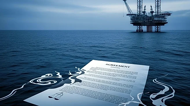


What's Happening?
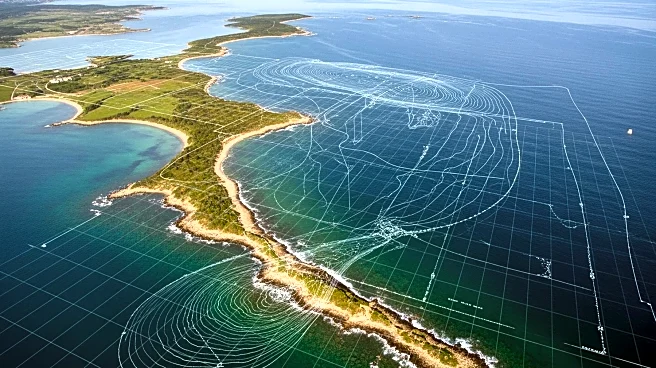
A comprehensive geospatial dataset has been developed to aid marine spatial planning and impact assessment in UK waters. This dataset integrates 337 spatial layers, including interpolation and kernel density estimation layers, to provide a detailed overview
of the condition and status of the shelf seas. The dataset aims to address challenges related to data availability and fragmentation, offering a single repository for various marine-related data. Validation of these layers involves calculating mean relative standard error and root mean square error to measure uncertainty and deviation. The dataset is expected to enhance decision-making processes in marine spatial planning by providing reliable and integrated data.
Why It's Important?
The development of this integrated geospatial dataset is crucial for effective marine spatial planning in the UK. It provides a comprehensive view of marine conditions, which is essential for informed decision-making regarding environmental conservation, resource management, and policy development. By addressing data fragmentation issues, the dataset facilitates better coordination among stakeholders, including government agencies, environmental groups, and the maritime industry. This can lead to improved management of marine resources, protection of biodiversity, and sustainable development of marine areas. The dataset also supports impact assessments, helping to mitigate potential negative effects of human activities on marine ecosystems.