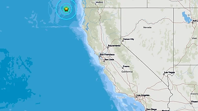


What's Happening?
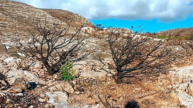
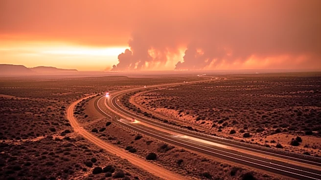
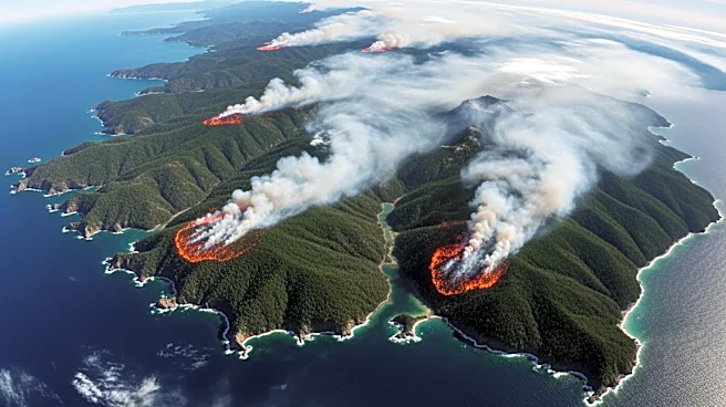
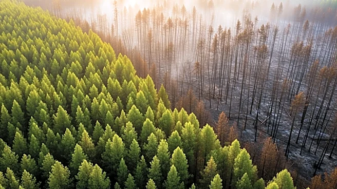
NASA has released satellite images showing the extensive damage caused by a wildland fire on Santa Rosa Island, part of California's Channel Islands. The fire, which started on May 15, burned approximately 18,379 acres, covering about one-third of the island.
This blaze is the largest recorded on any of the Channel Islands. By May 26, the fire was 97% contained, according to the California Department of Forestry and Fire Protection. The images, captured by NASA's Landsat satellite, highlight the rapid spread of the fire and its impact on the island's diverse ecosystems, including grasslands and coastal sage scrub. Despite concerns, initial assessments suggest that the island's rare Torrey pine groves were largely spared.
Why It's Important?
The fire on Santa Rosa Island underscores the vulnerability of California's unique ecosystems to wildfires. The Channel Islands are home to rare plant and animal species, and fires can have long-lasting impacts on these habitats. The incident highlights the need for effective fire management and conservation strategies to protect these ecosystems. Additionally, the use of satellite imagery in monitoring and managing wildfires demonstrates the importance of technology in environmental conservation efforts. The fire's containment efforts also reflect the challenges faced by firefighting teams in protecting sensitive areas from high-intensity fires.