



What's Happening?
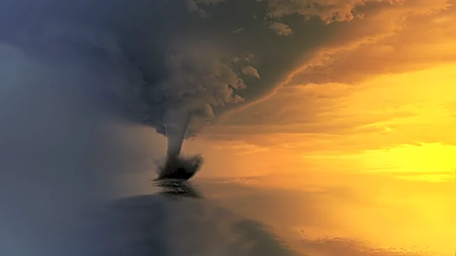
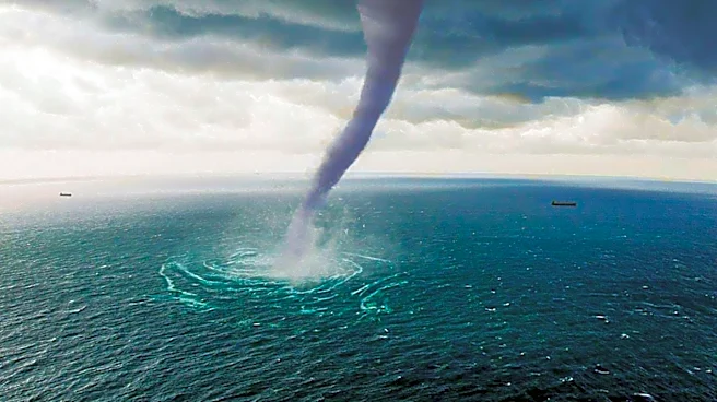
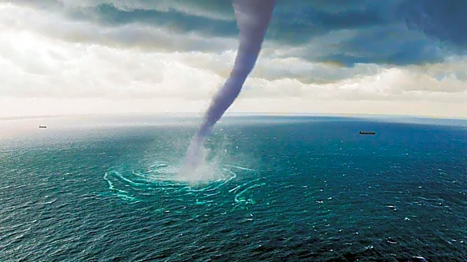
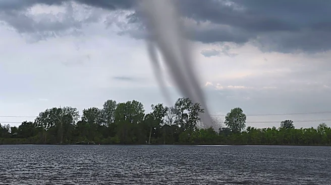
A waterspout formed over the lower James River near the Newport News Marine Terminal on Tuesday night, creating a dramatic visual spectacle. According to Mike Dutter, a meteorologist with the National Weather Service, the waterspout appeared at approximately
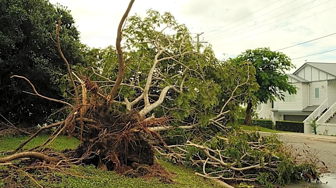
8:50 p.m. and lasted between 5 to 10 minutes. It did not make landfall and dissipated before reaching the Monitor-Merrimac Memorial Bridge-Tunnel. Despite the striking visuals, the waterspout did not directly cause any damage. However, high winds associated with the storm led to reports of downed trees in areas such as Willoughby Spit and James City County. The maximum wind gust recorded was 48 mph off the Norfolk coast, though this was not attributed to the waterspout. The storm weakened as it moved over land, limiting potential damage.
Why It's Important?
The formation of the waterspout highlights the dynamic and sometimes unpredictable nature of weather patterns in the region. While the waterspout itself did not cause damage, the associated high winds serve as a reminder of the potential hazards posed by severe weather events. The incident underscores the importance of timely weather warnings and the role of meteorologists in monitoring and predicting such phenomena. For local residents and authorities, it emphasizes the need for preparedness in the face of sudden weather changes, which can impact infrastructure and safety. The event also provided a unique opportunity for storm chasers and photographers, capturing rare and visually striking images that contribute to public interest and awareness of weather phenomena.
What's Next?
Following the waterspout event, the National Weather Service issued a tornado warning at 9:02 p.m. in anticipation of a funnel cloud forming over land, although no tornado materialized. The warning covered an area with a population of about 160,000 people. The weather service also issued a special marine warning for the lower James River area, which remained in effect from 8:10 p.m. to 9:15 p.m. As the region continues to experience variable weather patterns, local authorities and residents are likely to remain vigilant and responsive to future weather advisories. The event may prompt discussions on improving weather monitoring and communication systems to enhance public safety and preparedness.