


What's Happening?
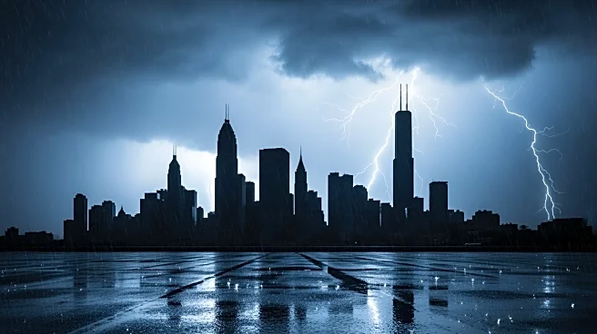
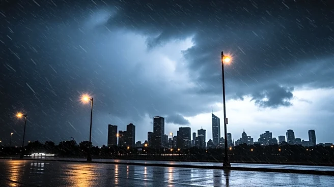
The New York City area is under a wind advisory as severe weather conditions are expected to hit the region. The CBS News New York First Alert Weather Team has issued a First Alert Weather Day due to the potential for flash flooding and a tornado risk.
The advisory covers New York City, Long Island, Connecticut, and parts of New Jersey, with wind gusts potentially reaching 45-50 mph. A potent cold front is approaching, bringing heavy rain and isolated thunderstorms, which may impact the morning commute. The weather is expected to worsen in the afternoon and evening, with a squall line of storms likely to bring damaging winds and torrential downpours. Flash flooding is a concern, with 1-2 inches of rain expected, and a slim chance of tornadoes developing, particularly west of the city.
Why It's Important?
The severe weather poses significant risks to the New York City area, including potential damage from high winds and flooding. Coastal areas, particularly Long Island's South Shore, may experience coastal flooding due to strong southerly winds. The weather conditions could disrupt daily activities, including commuting and outdoor events. The potential for tornadoes, although slim, adds to the urgency for residents to stay informed and prepared. The impact on infrastructure and public safety could be substantial, necessitating coordinated responses from local authorities and emergency services.
What's Next?
As the cold front passes through on Monday night, the rain may transition to light snow, leading to a cold and blustery St. Patrick's Day with temperatures only reaching the low 40s. Residents are advised to monitor weather updates and heed any warnings or advisories issued by local authorities. Emergency services and local governments will likely remain on high alert to respond to any incidents caused by the severe weather.