




What's Happening?
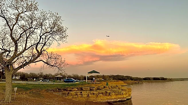
The Dallas-Fort Worth area is experiencing persistent cloud cover and seasonable temperatures, with highs in the 70s expected early in the week. A warming trend will peak on Wednesday afternoon, with temperatures potentially reaching near 78 degrees.
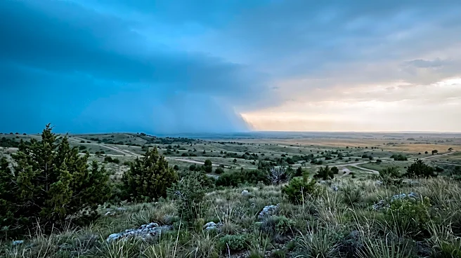
This warmth precedes an approaching cold front, which is projected to move through the region from Thursday afternoon into Friday. This front is expected to be dry, bringing no rainfall. Following the front's passage, northerly winds will clear the skies and usher in cooler air. By Friday afternoon, daytime highs are anticipated to drop below 70 degrees, with morning lows falling into the upper 40s as the weekend approaches. Meanwhile, Central and South Texas are facing heavy downpours and flash flood warnings.
Why It's Important?
The upcoming weather changes in the Dallas-Fort Worth area will impact daily life and various sectors. The shift from warmer temperatures to cooler, drier conditions could affect energy consumption patterns, with potential decreases in air conditioning use and slight increases in heating needs. For outdoor activities and local businesses, the clear skies and cooler temperatures over the weekend might be favorable, encouraging more outdoor events and consumer traffic. The dry nature of the cold front is significant, as it means no additional rainfall for North Texas, which could be beneficial for areas recovering from previous wet conditions or those needing a dry spell. Conversely, the heavy rains in Central and South Texas highlight regional weather disparities and potential localized impacts on agriculture and infrastructure there.
What's Next?
Residents in the Dallas-Fort Worth area should prepare for a noticeable change in weather conditions by the end of the week. The warming trend will continue until Wednesday, offering mild conditions before the cold front arrives. By Thursday and Friday, cooler temperatures and clear skies will become prevalent, making it advisable to adjust clothing and outdoor plans accordingly. The dry passage of the front means no immediate concerns for rain-related disruptions in North Texas. However, those traveling to Central or South Texas should remain aware of ongoing flood warnings and heavy precipitation in those regions.
Beyond the Headlines
The distinct weather patterns across Texas, with heavy rainfall in the south and a dry cold front in the north, underscore the state's diverse climate zones and the varying impacts of weather systems. Such regional differences can influence agricultural practices, water management strategies, and emergency preparedness efforts across different parts of the state. The predictability of these fronts allows for planning, but the contrast also highlights the complex meteorological dynamics at play. Long-term, understanding these patterns is crucial for climate resilience and resource planning in a state with significant geographical and climatic variations.