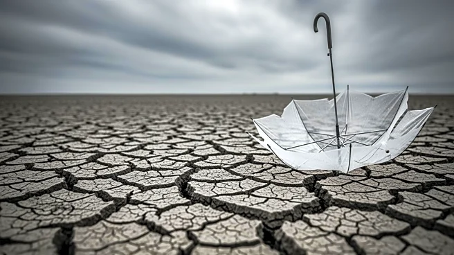


What's Happening?
The Desert Research Institute (DRI) has developed a new method to improve early warnings for atmospheric river-induced flooding by considering soil saturation levels. Led by hydrologist Mariana Webb, the study examined over 71,000 atmospheric river storms
in the Western U.S. and central Chile. By incorporating soil saturation data, the correlation between storm rank and flood outcome was doubled, and the classification of flood-generating storms as hazardous increased by over 25%. This approach allows meteorologists to predict flood hazards more accurately, potentially reducing storm damage, which is estimated at $1.1 billion annually on the U.S. West Coast.
Why It's Important?
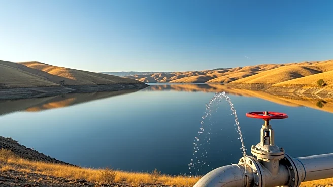
This research is significant as it enhances the ability to predict and manage flood risks associated with atmospheric river storms, which are a major source of seasonal water and flood damage in regions like California and Chile. By improving flood hazard predictions, emergency managers and water reservoir operators can make more informed decisions, potentially reducing economic losses and improving public safety. The study's approach, which uses widely available precipitation data, can be applied even in areas lacking soil moisture observation data, making it a versatile tool for flood risk management.
What's Next?
The modified atmospheric river scale developed by Webb and her team is expected to be operationalized to support early warning systems, providing more localized information about incoming storms. This could lead to more actionable hazard outlooks, helping communities and emergency services prepare more effectively for potential flooding events. As extreme weather becomes more common, the research suggests that similar methods could be applied to other weather hazards, such as snowmelt-driven floods and post-wildfire erosion.