
What's Happening?
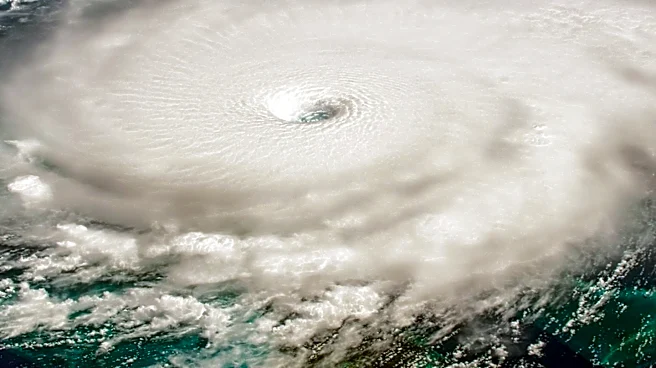
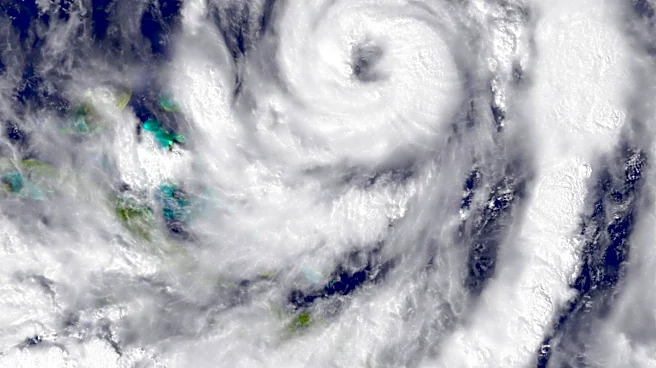
Tropical Storm Bertha is showing signs of weakening as it nears the Louisiana coast, with maximum winds decreasing from 60 to 50 mph. The storm's center remains offshore, and it is expected to continue
weakening over the next few days. Meanwhile, Houston is experiencing extreme heat, with temperatures expected to reach between 100 and 105 degrees. Scattered thunderstorms, unrelated to Bertha, are anticipated to develop in the Houston area due to a 'backdoor' boundary moving from Louisiana. These storms are expected to be locally strong and may persist into the evening. Rainfall from Bertha is projected to affect areas south of Houston, with the heaviest rain expected from Galveston through Matagorda Bay.
Why It's Important?
The weakening of Tropical Storm Bertha reduces the immediate threat of severe weather for Houston, but the extreme heat poses significant health risks. Residents are advised to take precautions to avoid heat-related illnesses. The anticipated thunderstorms could lead to localized flooding, particularly in areas south of Houston. The situation highlights the ongoing challenges of managing weather-related risks in the region, especially during the summer months when heat and storms are prevalent. The energy sector, particularly electricity providers, may see increased demand as residents seek to cool their homes, potentially impacting energy consumption and costs.
What's Next?
As Bertha continues to weaken, the focus will shift to monitoring the development of thunderstorms in the Houston area. Residents should stay informed about weather updates and be prepared for potential flooding in low-lying areas. Energy providers may issue further guidance on managing electricity usage during the heatwave. The situation underscores the importance of preparedness and resilience in the face of extreme weather events, which are expected to become more frequent due to climate change.