


What's Happening?
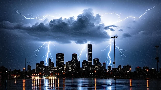
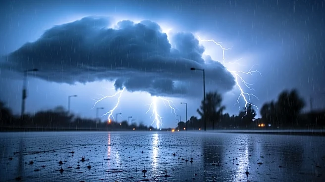
The National Weather Service (NWS) has forecasted rain and potential thunderstorms for Los Angeles this weekend. Rain is expected to begin after 11 p.m. on Saturday, with scattered showers anticipated on Sunday afternoon. There is a 15% to 25% chance
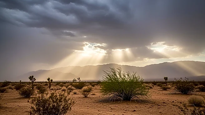
of thunderstorms, which could produce brief heavy rain, gusty winds, small hail, and possibly waterspouts or weak tornadoes. A storm system is moving into the area, and snow levels are expected to drop at high elevations, potentially affecting drivers in mountainous regions. Gusty winds are also expected in the Mojave Desert.
Why It's Important?
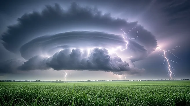
The forecasted weather conditions could impact travel and outdoor activities in Los Angeles and surrounding areas. The potential for thunderstorms and gusty winds poses risks such as downed trees and power lines, which could lead to power outages and road closures. Residents and businesses may need to adjust plans and prepare for possible disruptions. The weather system could also affect agricultural activities and water management in the region, highlighting the importance of monitoring and preparedness.
What's Next?
The storm system may linger through Monday, with dry and warm weather expected to return afterward. Temperatures are forecasted to climb later in the week, reaching nearly 80 degrees by next Saturday. The NWS advises residents to stay informed and ready to adjust plans as conditions evolve. Authorities may issue warnings or advisories if severe weather conditions develop.