What's Happening?
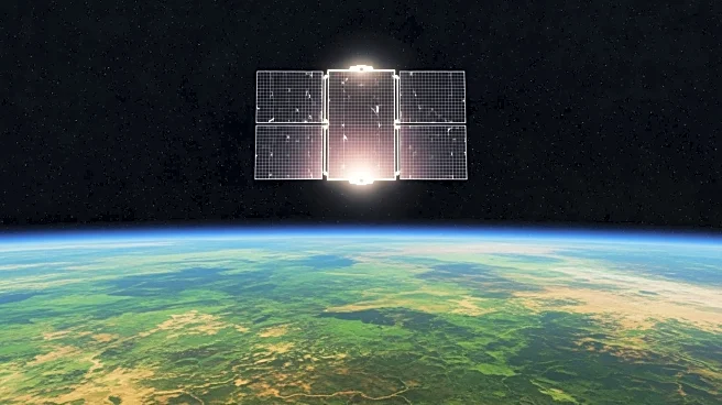
NASA's Landsat program plays a crucial role in monitoring and managing rangelands, which cover over half of Earth's land surface. These areas, characterized by native grasses, shrubs, and woodlands, are vital
for grazing livestock and supporting wildlife. Landsat's remote sensing capabilities allow scientists and land managers to assess vegetation health and forage production, providing valuable data for effective rangeland management. This technology is particularly important in arid and semi-arid regions, where vegetation growth is highly variable. By combining Landsat imagery with field observations, managers can make informed decisions about grazing regimes and land use.
Why It's Important?
The use of Landsat data in rangeland management is significant for sustainable agriculture and environmental conservation. By providing detailed insights into vegetation health, Landsat helps optimize grazing practices, ensuring that rangelands remain productive and ecologically balanced. This is crucial for food production and biodiversity preservation, as rangelands support a wide range of species and ecosystems. Additionally, the data aids in addressing challenges such as climate variability and land degradation, promoting resilience in these vital landscapes.


