


What's Happening?
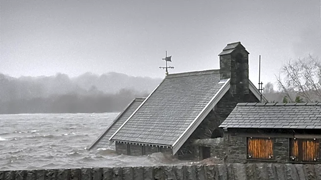
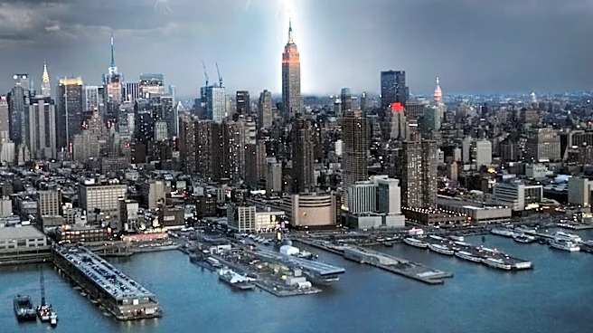
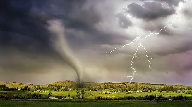
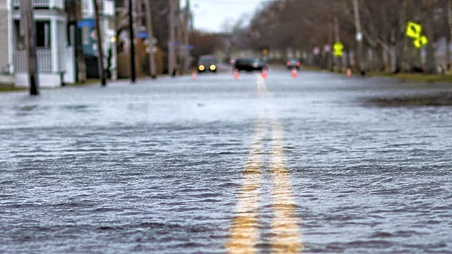
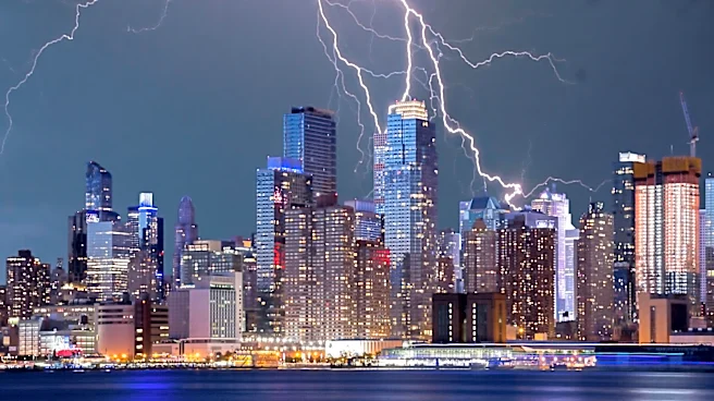
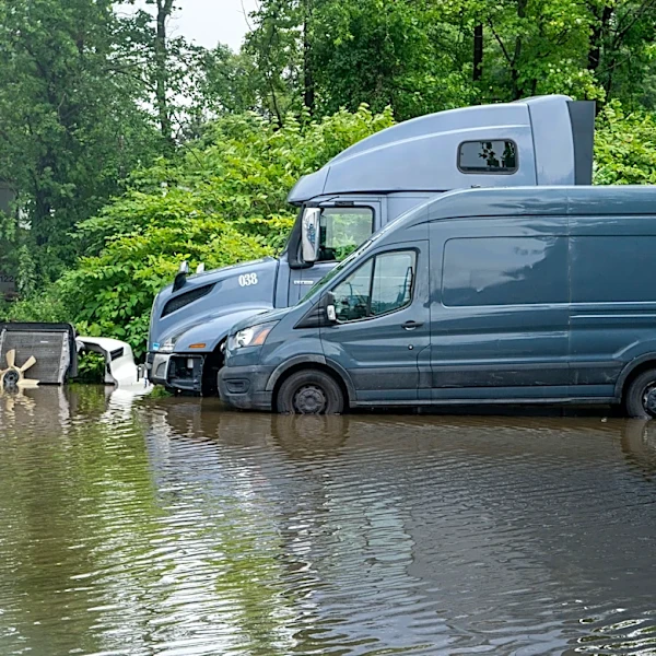
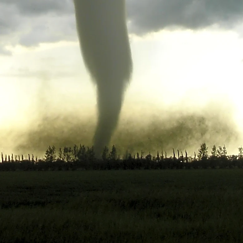
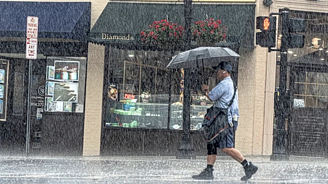
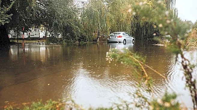
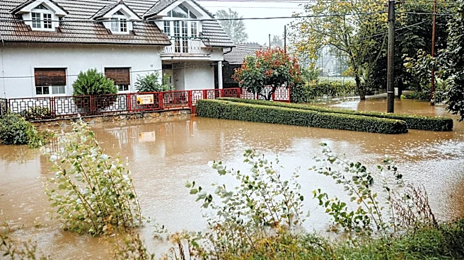
The NYC area is under a flood watch as severe storms are expected to bring heavy rain, damaging winds, and possible tornadoes. The storms, capable of producing rainfall rates over 2 inches per hour, pose a risk of flash flooding in urban and low-lying
areas. The threat extends to Central and South Jersey, where isolated tornadoes and wind gusts over 60 mph are possible. The severe weather follows a period of calm summer conditions, with alerts issued for flash floods and severe thunderstorms.
Why It's Important?
The potential for severe weather impacts public safety, transportation, and infrastructure in the densely populated NYC area. The risk of tornadoes and flooding necessitates preparedness and swift response from emergency services. The situation underscores the importance of weather forecasting and community awareness in mitigating the effects of natural disasters. The economic implications include potential disruptions to businesses and daily activities, highlighting the need for resilient urban planning.
What's Next?
Residents are advised to stay informed through weather updates and take precautions to ensure safety. Emergency services are on alert to respond to incidents and manage the impact of the storms. The weather system is expected to move slowly, with continued monitoring and potential for further alerts. Authorities may review and enhance disaster preparedness strategies in light of the storm's impact.