


What is the story about?
What's Happening?
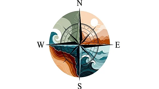
The Federated Marine Spatial Data Infrastructure (FMSDI) initiative is working to bridge the gap between land and sea data systems. This global effort seeks to connect terrestrial and marine data through shared standards and federated access, addressing the 'white ribbon' problem where land-based elevation models and marine bathymetric charts fail to meet. The initiative involves multiple international partners, including the UK Hydrographic Office, NOAA, and others, aiming to develop best practices for interoperability at the land-sea interface. The pilots have demonstrated technology solutions that integrate terrestrial elevation, bathymetry, and tidal data, improving navigation, port operations, and environmental monitoring.
Why It's Important?
The integration of land and sea data is crucial for various sectors, including navigation, port logistics, climate adaptation, and environmental stewardship. Accurate data integration reduces risks for vessels, improves traffic management, and enhances resilience against climate impacts. It also supports environmental monitoring and situational awareness in vulnerable coastal zones. The initiative aligns with global efforts like the UN-GGIM's Integrated Geospatial Information Framework, ensuring that local solutions can scale internationally and contribute to global sustainability goals.
What's Next?
The FMSDI initiative will focus on operationalizing vertical datum transformation services, expanding satellite-based shoreline monitoring, and broader adoption of DGGS indexing for multi-domain integration. The initiative aims to engage more with port authorities, coastal states, and private operators to enhance data sharing and collaboration. The vision is to create a global fabric of federated marine and terrestrial datasets that support resilience, efficiency, and innovation.