




What's Happening?
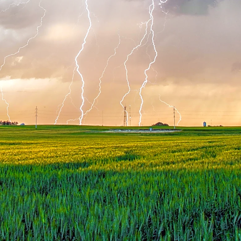
The New York City area is bracing for severe weather on Monday, with forecasts predicting afternoon and evening thunderstorms and high heat indices near 100 degrees. A heat advisory is in effect for New York City, northeastern New Jersey, and parts of
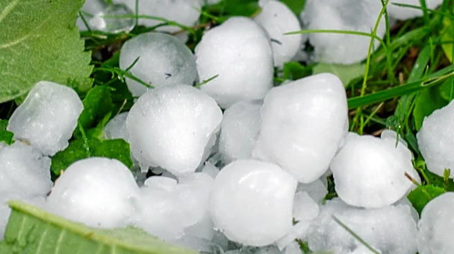
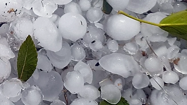
Long Island and Westchester and Rockland counties. The storms may bring damaging winds, hail, and a slight chance of tornadoes. The weather pattern is expected to continue through Thursday, with a shift to cooler temperatures and lower humidity by the weekend.
Why It's Important?
The severe weather forecast poses potential risks to public safety, infrastructure, and daily activities in the densely populated New York City area. High temperatures and humidity can lead to heat-related illnesses, while thunderstorms may cause power outages, transportation disruptions, and property damage. The situation underscores the importance of preparedness and effective communication from local authorities to ensure public safety. Residents are advised to stay informed and take necessary precautions to mitigate the impact of the weather conditions.
What's Next?
As the severe weather conditions persist, local authorities and emergency services will remain on high alert to respond to any incidents. The public is encouraged to monitor weather updates and follow safety advisories. The anticipated shift to cooler temperatures by the weekend may provide relief, but ongoing vigilance is necessary to address any lingering effects of the storms. The situation highlights the need for robust infrastructure and emergency response systems to handle extreme weather events.