




What's Happening?
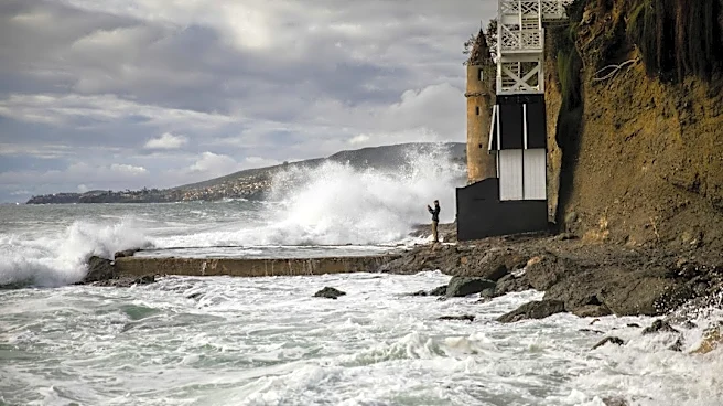
The City of Mill Valley, California, has issued a tidal and flooding forecast for November 4-9, 2026, anticipating higher-than-normal high tides. The National Weather Service predicts up to 1.2 feet of surge on top of astronomical tides during this period.
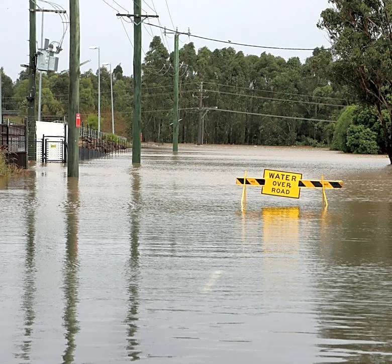
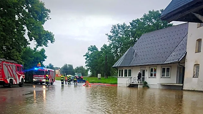
Expected high tides for North Bay interior valleys, including Mill Valley, will peak at 7.4 feet on Saturday, November 7, Sunday, November 8, and Monday, November 9, all around 9:38 AM to 10:35 AM. Residents are advised to expect flooding on low-lying roads and shoreline areas, temporary road or lane closures, ponding near storm drains, and higher water in lagoons, creeks, and marshes. Specific areas likely to be affected include Miller Avenue between Camino Alto and Almonte, the 500 block of Redwood Highway Frontage Road, and Manzanita 101 freeway access.
Why It's Important?
This forecast is crucial for the safety and daily operations of Mill Valley residents and commuters. The anticipated flooding can disrupt transportation, cause property damage, and pose risks to public safety. For local businesses, road closures and traffic congestion can impact customer access and supply chains, leading to potential economic losses. The advisory highlights the ongoing challenges coastal communities face due to tidal fluctuations and potential storm surges, emphasizing the need for robust emergency preparedness and infrastructure resilience. The proactive communication from the City of Mill Valley aims to mitigate these impacts by informing the public and encouraging preventative measures, thereby reducing the strain on emergency services and minimizing community-wide disruption.
What's Next?
Residents of Mill Valley are urged to plan ahead, allow extra travel time, and avoid driving through floodwaters. The City recommends moving vehicles from low-lying parking areas and protecting flood-prone property. Updates and real-time information on road closures and flooding will be provided through Nixle and AlertMarin. Local authorities will likely monitor tide levels and road conditions closely, deploying resources as needed to manage traffic and respond to any emergencies. This event serves as a reminder for the community to stay informed about local weather and tidal forecasts and to have personal emergency plans in place, especially for those residing in flood-prone zones.
Beyond the Headlines
The recurring nature of tidal flooding in coastal areas like Mill Valley underscores the broader implications of climate change and sea-level rise on U.S. infrastructure and communities. While this specific event is attributed to higher-than-normal astronomical tides and surge, it highlights the increasing vulnerability of low-lying regions. Long-term planning for such communities will need to consider significant investments in flood defenses, urban planning adjustments, and potentially managed retreat strategies. The economic burden of repeated flood damage and the costs associated with mitigation efforts will likely become a more prominent issue for local and state governments, prompting discussions on sustainable development and climate adaptation policies. This event, therefore, is not just a localized weather phenomenon but a microcosm of a larger national challenge.