


What's Happening?
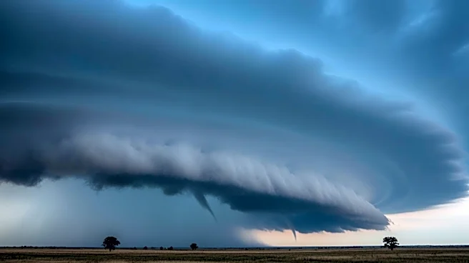
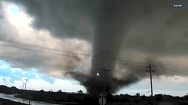
A significant severe weather event is unfolding across the central United States, affecting nearly 27 million people. The threat, which began in the southern Plains, is expected to move northeast, impacting areas from Kansas to Texas and extending into
the Midwest. The National Weather Service has issued an 'enhanced risk' warning for parts of Kansas, Missouri, and Oklahoma, with potential for strong tornadoes, damaging winds, and large hail. Cities such as Wichita, Kansas City, and Oklahoma City are under heightened alert. The severe weather is expected to continue into Monday, affecting cities like St. Louis, Cedar Rapids, and Rockford. The storms are part of a multi-day event that includes the risk of flash flooding and widespread damaging wind gusts.
Why It's Important?
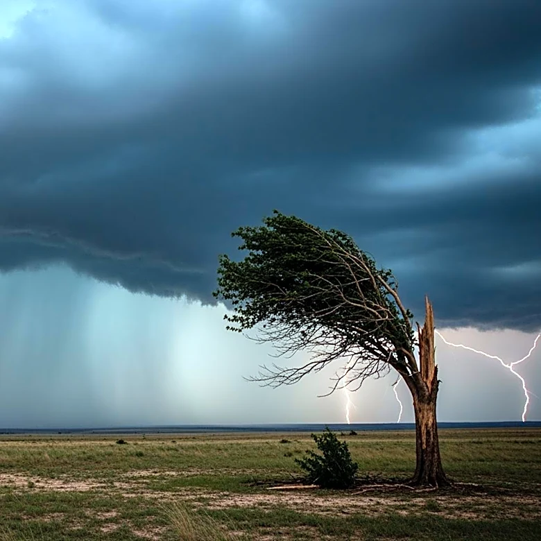
The severe weather poses a significant risk to life and property across a large swath of the United States. The potential for strong tornadoes and damaging winds could lead to widespread destruction, power outages, and disruptions to daily life. The economic impact could be substantial, affecting businesses, infrastructure, and agriculture in the affected regions. Emergency services and local governments are on high alert, preparing for potential evacuations and disaster response. The event underscores the importance of preparedness and the challenges posed by severe weather patterns, which are becoming more frequent and intense.
What's Next?
As the storm system moves eastward, the severe weather threat will shift to the Mississippi Valley and Midwest on Monday. Residents in these areas are advised to stay informed and prepared for possible severe weather conditions. Emergency management agencies are coordinating response efforts, and local authorities may issue evacuation orders if necessary. The situation remains dynamic, with weather forecasts subject to change as the storm progresses. Continued monitoring and timely communication will be crucial in mitigating the impact of this severe weather event.