


What's Happening?
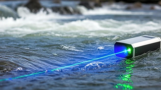
Riegl has demonstrated the use of bathymetric LiDAR technology to map river bed topography in challenging whitewater rapids. This advancement extends the applicability of the technology for mountain river research. The study utilized the RIEGL VQ-840-GL
topo-bathymetric laser scanner and advanced full-waveform processing to address the limitations of extracting reliable bottom returns in turbulent, aerated water. Traditionally, bathymetric LiDAR has been effective in clear, shallow rivers, but whitewater sections have posed significant challenges, resulting in data gaps. The new approach involves a novel waveform analysis method that separates the water column signal from the recorded LiDAR waveform using curve fitting techniques. This allows for the detection of previously undetected bottom returns in turbulent zones. The method was validated in three alpine river environments, showing substantial improvements in accuracy.
Why It's Important?
The development of this technology is significant for environmental and geological research, as it allows for more accurate mapping of river beds in complex hydraulic environments. This can lead to better understanding and management of river ecosystems, particularly in mountainous regions where whitewater rapids are common. The ability to close critical data gaps in these areas can enhance studies related to river morphology, sediment transport, and habitat mapping. This advancement could benefit environmental scientists, hydrologists, and policy makers involved in water resource management and conservation efforts.
What's Next?
The successful demonstration of this technology may lead to broader adoption in river mapping projects worldwide. It could also prompt further research and development to refine the technology and expand its applications. Stakeholders such as environmental agencies, research institutions, and government bodies may consider integrating this technology into their river monitoring and management programs. Additionally, the technology could be showcased at industry events to attract potential collaborators and investors interested in advancing environmental monitoring technologies.
Beyond the Headlines
The use of advanced LiDAR technology in river mapping highlights the growing importance of precision in environmental monitoring. This development may also influence regulatory standards for river mapping and management, encouraging the adoption of more sophisticated technologies. Furthermore, it underscores the potential for unmanned aerial vehicles (UAVs) to play a critical role in environmental data collection, offering a cost-effective and efficient alternative to traditional methods.