



What's Happening?
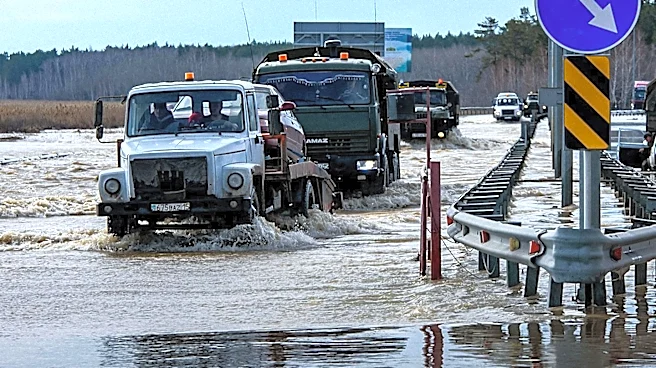
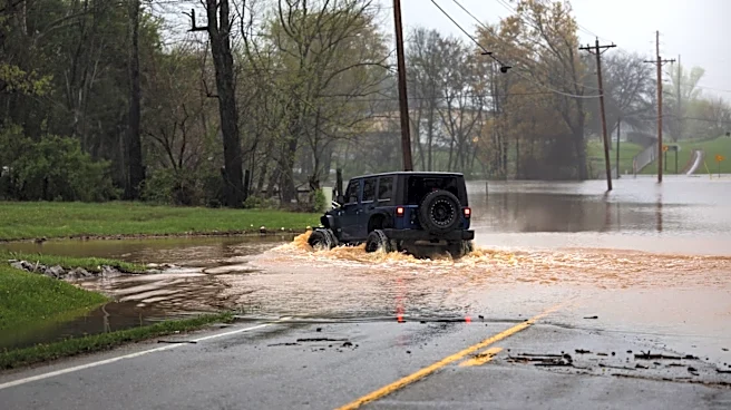
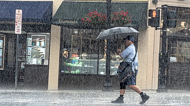
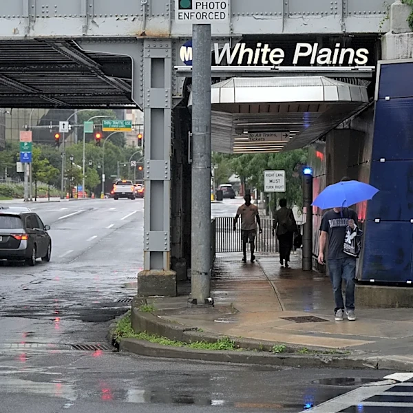
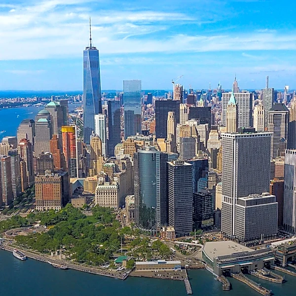
New York City and the surrounding Tri-State area are under a flood watch due to severe weather conditions expected to bring heavy rain and thunderstorms. The National Weather Service has issued a flood watch effective until 8 p.m. Wednesday, with the highest
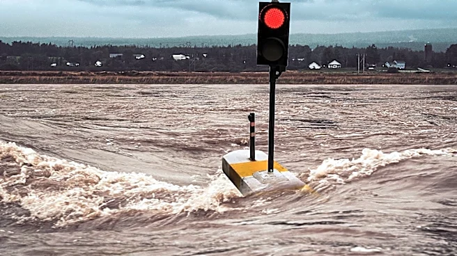
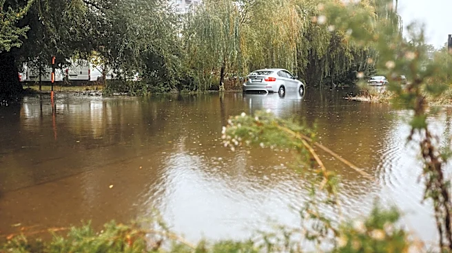
risks of flash flooding in New York City, northeastern New Jersey, southwestern Connecticut, and the Lower Hudson Valley. Rainfall rates could reach 2-3 inches per hour, with total rainfall potentially exceeding 6 inches in some areas. The severe weather is attributed to a slow-moving low-pressure system, which could also bring damaging wind gusts of 60-70 miles per hour, posing a risk of power outages due to downed trees and power lines.
Why It's Important?
The potential for life-threatening flash flooding poses significant risks to public safety and infrastructure in the densely populated New York City area. The heavy rainfall and strong winds could disrupt transportation, damage property, and lead to power outages, affecting millions of residents. The situation underscores the importance of emergency preparedness and the need for residents to heed warnings and advisories from local authorities. The economic impact could be substantial, with potential disruptions to businesses and public services.
What's Next?
Residents are advised to stay informed through local news and weather updates and to prepare for possible flooding by securing property and avoiding travel during severe weather. The New York City Office of Emergency Management has issued a travel advisory and is working to prepare infrastructure to handle stormwater. Community members are encouraged to check on neighbors and sign up for emergency alerts. The situation will continue to be monitored, with updates provided as conditions evolve.