
What's Happening?
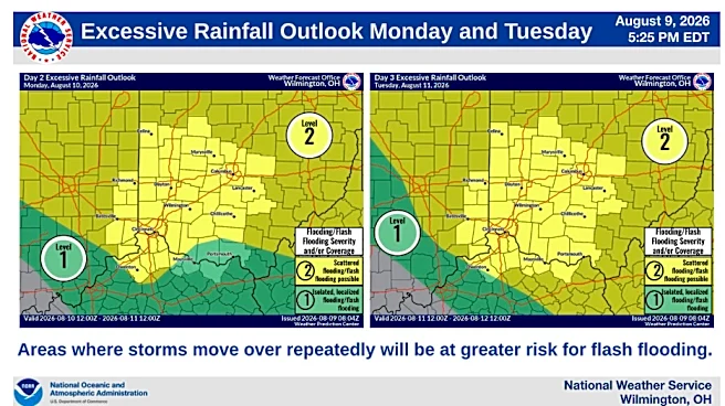
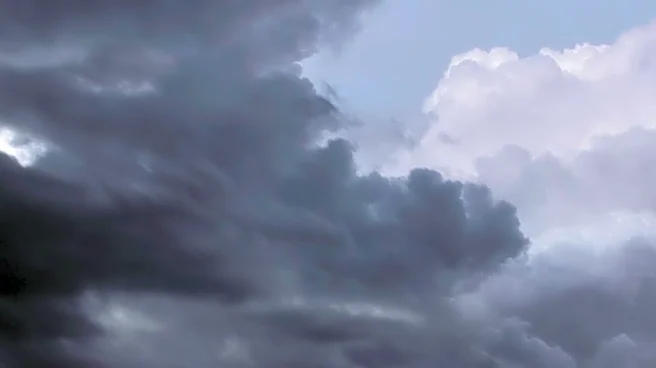
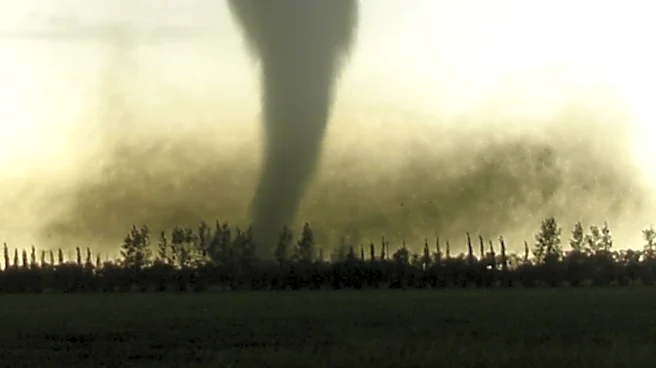
North Carolina is facing a Weather Impact Day as severe storms and flooding risks loom over the region. Clusters of thunderstorms from the Midwest are expected to track into the Ohio Valley, mid-Atlantic,
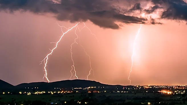
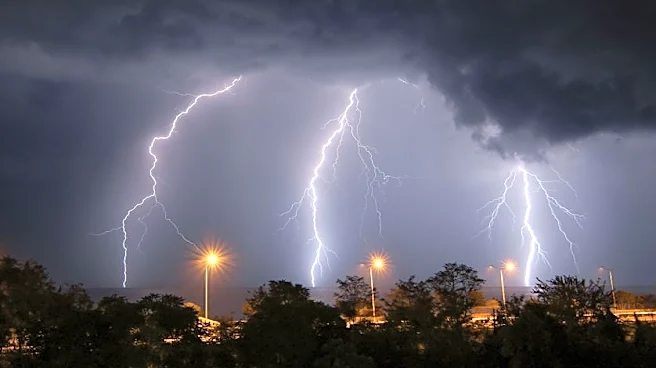
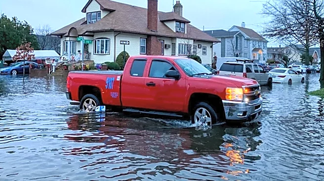
and Carolinas, bringing the potential for damaging winds, heavy lightning, and localized flash flooding. The timing of these storms is uncertain, but they pose a significant threat to the area.
Why It's Important?
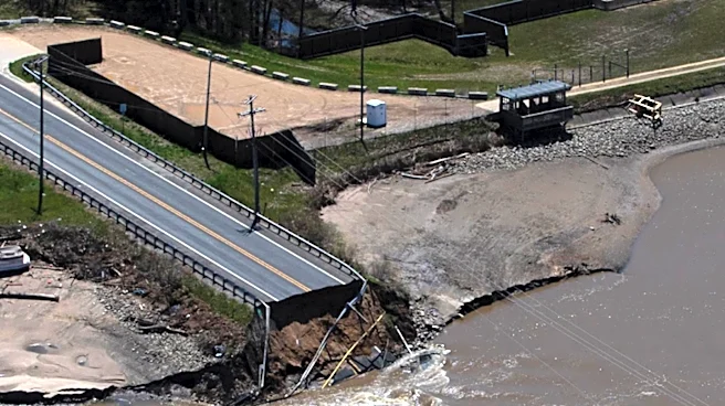
The severe weather poses a risk to public safety and infrastructure in North Carolina, particularly in the mountains, foothills, and Piedmont regions. The potential for damaging winds and flash flooding could lead to property damage, power outages, and transportation disruptions. Residents are advised to stay informed and take necessary precautions to protect themselves and their property.
What's Next?
The WXII 12 First Warning Weather Team will be closely monitoring the radar as the volatile weather pattern continues. Residents in the affected areas should remain vigilant and be prepared for potential severe weather throughout the day and night. Local authorities and emergency services will be on alert to respond to any storm-related incidents.