


What's Happening?
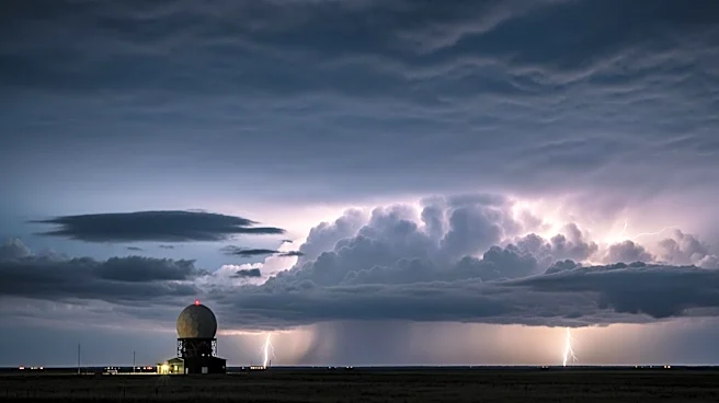
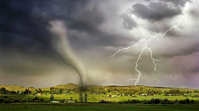
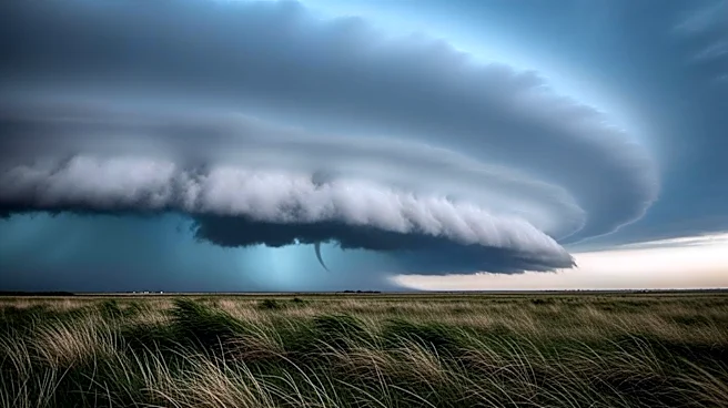
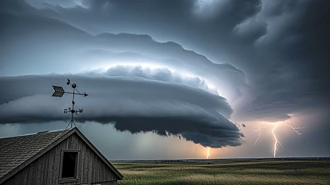
The central United States is bracing for a series of severe weather events expected to peak on Monday. According to the National Weather Service's Storm Prediction Center, there is an elevated-to-moderate risk for severe thunderstorms across the Great
Plains, the Corn Belt, and the Upper Midwest. The primary threats include damaging gusts, large hail, and the potential for strong tornadoes. The risk level is set to increase from Level 3 to Level 4 on Monday, indicating a significant threat of rotating supercell thunderstorms capable of producing EF2 or stronger tornadoes. The weather pattern is driven by a low-pressure system moving eastward, interacting with warm, humid air from the Gulf of Mexico, creating conditions conducive to severe storms.
Why It's Important?
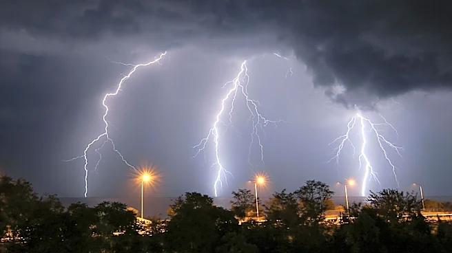
The anticipated severe weather poses a significant threat to life and property across a large swath of the central U.S. The potential for strong tornadoes and damaging winds could lead to widespread disruptions, including power outages, damage to infrastructure, and agricultural impacts. The region, known as Tornado Alley, has experienced a relatively quiet tornado season so far, but the upcoming storms could mark a shift in weather patterns. Communities in the affected areas, including major cities like Omaha and Sioux Falls, need to prepare for possible emergency situations. The economic impact could be substantial, affecting industries such as agriculture and transportation.
What's Next?
As the severe weather system progresses, residents in the affected areas are advised to stay informed through local weather updates and heed any warnings issued by authorities. Emergency services and local governments are likely to be on high alert, ready to respond to any incidents. The situation will continue to evolve, with the potential for further severe weather events beyond Monday. Monitoring the development of the storm system will be crucial for timely responses and minimizing potential damage.