


What's Happening?
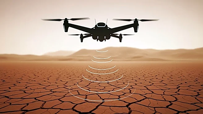
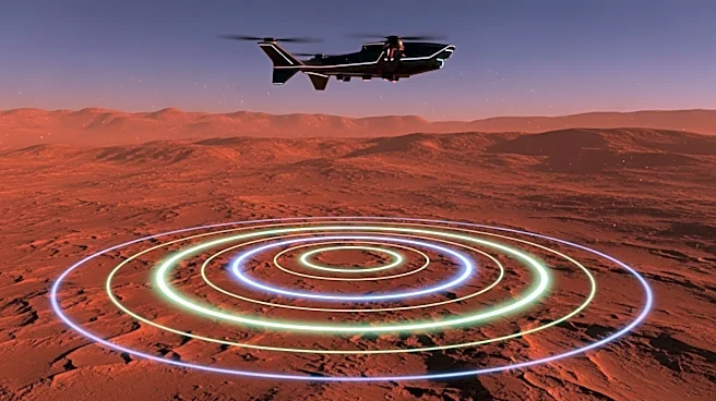
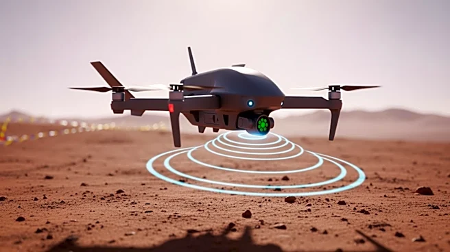
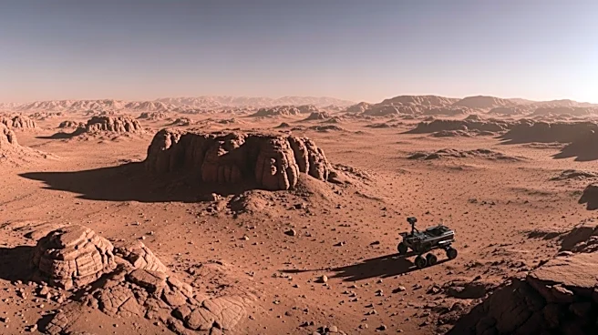
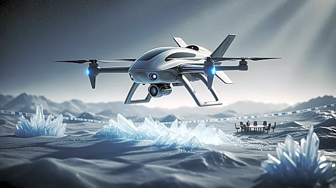
Researchers at the University of Arizona have developed drone technology equipped with radar to map the depth of ice on Mars. This technology aims to address the challenge of determining the thickness of rock and dust layers above Martian ice, which is crucial
for successful drilling operations. The drones have been tested on Earth’s glaciers in Alaska and Wyoming, which resemble Martian ice deposits. The drones use ground-penetrating radar to map ice thickness and detect layers of debris, providing detailed information that complements data from orbital radars. This approach is expected to enhance the accuracy of future Mars missions by pinpointing promising drilling locations.
Why It's Important?
The development of drone technology for mapping Martian ice is significant for future crewed missions to Mars. Accurate mapping of ice deposits can provide essential resources such as drinking water, oxygen, and materials for food cultivation. Additionally, understanding the ice's depth and location can increase the chances of discovering traces of ancient life on Mars. This technology represents a step forward in planetary exploration, potentially reducing risks and improving mission outcomes by providing high-resolution data that complements existing orbital and rover technologies.
What's Next?
The researchers plan to continue refining the drone technology and conduct further tests to ensure its effectiveness in Martian conditions. Future missions may incorporate this technology to enhance the precision of drilling operations on Mars. The integration of drones with existing orbital and rover systems could lead to more efficient exploration strategies, potentially accelerating the timeline for crewed missions to the Red Planet.