









What's Happening?
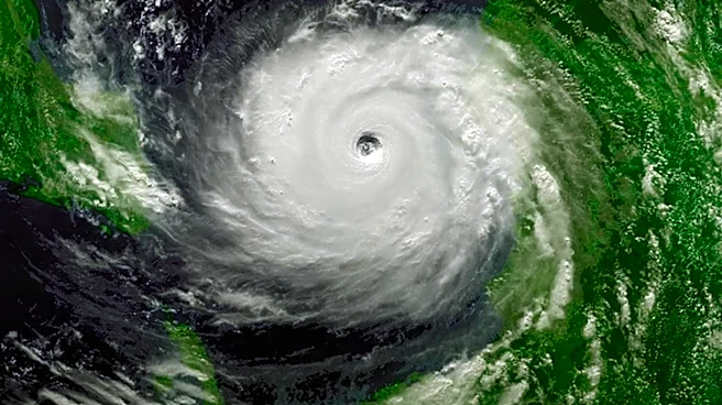
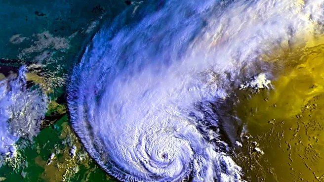
Tropical Depression Two has developed in the northeastern Gulf of Mexico and is anticipated to bring significant rainfall and tropical storm-force winds to the northern and eastern Gulf Coast regions. The system is expected to strengthen into Tropical Storm
Bertha by tonight or Monday. A Hurricane Hunter aircraft is scheduled to gather data on the storm's conditions. The depression is predicted to cause widespread rainfall of 2 to 4 inches, with isolated areas receiving up to 8 inches. A storm surge of 1 to 3 feet is possible along Florida's Big Bend region. The system is moving slowly due to weak steering currents, but some strengthening is possible as it approaches the Gulf Coast of Alabama, Mississippi, and Louisiana by midweek.
Why It's Important?
The formation of Tropical Depression Two marks a significant weather event for the Gulf Coast, potentially impacting communities with heavy rainfall, flooding, and strong winds. The storm's development comes after a month without named storms in the Atlantic, highlighting the unpredictable nature of the hurricane season. The potential for flash flooding and storm surges poses risks to infrastructure and safety in affected areas. The National Oceanic and Atmospheric Administration (NOAA) has predicted a lower-than-average number of named storms this season due to El Niño, but this event underscores the need for preparedness and monitoring.
What's Next?
As Tropical Depression Two progresses, residents and authorities in the Gulf Coast region should prepare for possible tropical storm conditions. The issuance of a Tropical Storm Watch for parts of the Florida Panhandle indicates that tropical storm conditions could occur within the next 36 to 48 hours. Continued monitoring and updates from meteorological services will be crucial for timely responses and safety measures. The potential for the storm to strengthen into Tropical Storm Bertha necessitates vigilance and readiness for further developments.