


What's Happening?
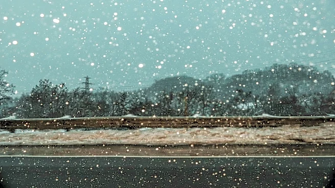
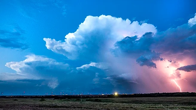
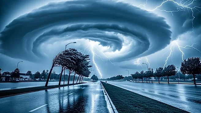
A massive cold front is impacting a large portion of the United States, stretching from Maine to Texas. This weather system is bringing severe storms to the South, heavy rain to the Midwest and Northeast, and a significant snowstorm to the central Rocky
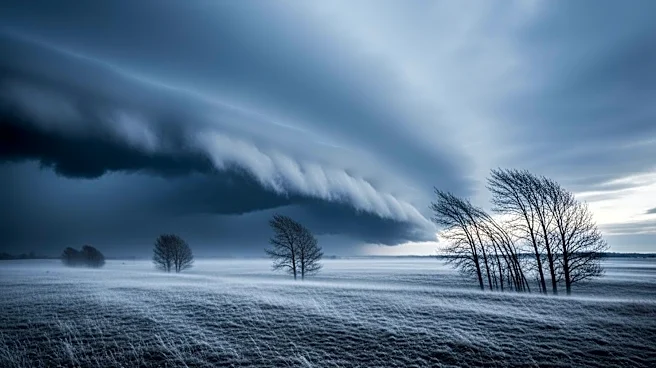
Mountains. The severe weather is expected to begin in the Ark-La-Tex region and spread across the Midwest and Great Lakes before reaching the Northeast. The cold air behind the front is creating conditions for a late-season snowstorm in the Northern Plains and Rockies. The system is causing travel delays and is expected to bring temperatures 20 to 30 degrees below average. The front is also expected to bring much-needed rain to drought-stricken areas in the Southeast.
Why It's Important?
The cold front's impact is significant due to its wide reach and the variety of weather conditions it brings. The severe storms and heavy rain pose risks of flooding, particularly in areas already saturated from previous weather events. The snowstorm in the Rockies could lead to hazardous travel conditions and potential disruptions in transportation and logistics. The rain in the Southeast is beneficial for regions experiencing extreme drought, providing relief to agricultural areas and water supplies. However, the severe weather could also lead to property damage and power outages, affecting communities across multiple states.
What's Next?
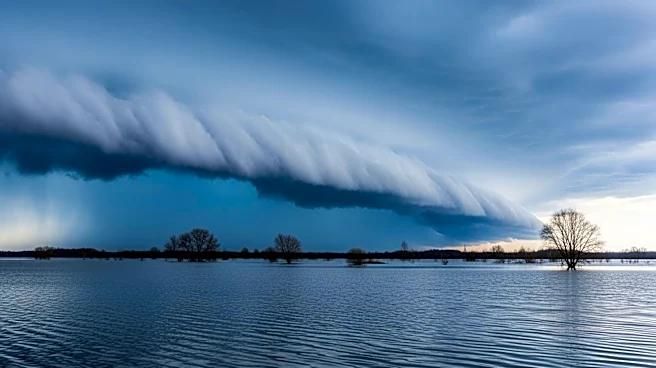
As the cold front progresses, it is expected to stall, leading to several days of severe weather and potential flash flooding in the southern regions. The system will continue to move eastward, bringing rain to the Northeast and snow to the Rockies. Stakeholders, including emergency services and local governments, will need to prepare for potential impacts, including travel disruptions and infrastructure damage. The weather system's progression will be closely monitored to provide timely updates and warnings to affected areas.