






What's Happening?
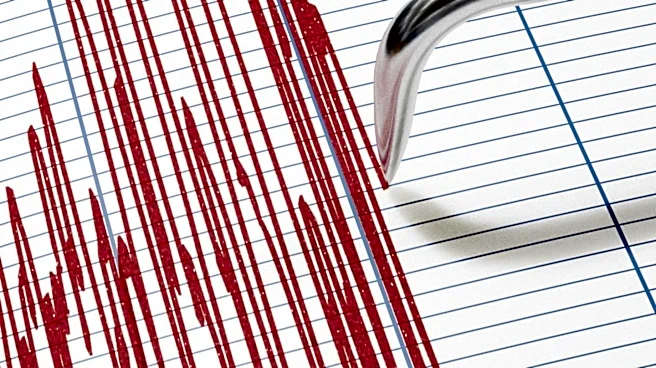
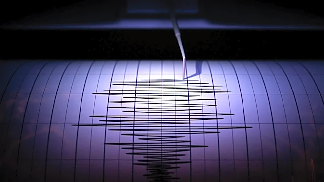
A 4.2-magnitude earthquake occurred approximately 15 miles southwest of Seattle, near Wauna, Washington, on October 2. The United States Geological Survey (USGS) reported the event, which was logged by ground motion sensors at 2:05 p.m. Pacific time.
The epicenter was located roughly 4 miles northwest of Wauna. The USGS classified the shaking intensity as 'weak' (level 3 or higher on the Modified Mercalli Intensity scale), comparable to the vibration caused by a heavy truck. Residents across the Puget Sound region, from Tacoma to downtown Seattle, reported feeling tremors. While an earthquake of this magnitude rarely causes structural damage to modern buildings, it served as a reminder of the active crustal faults in the Pacific Northwest. Communities closer to the Key Peninsula, including Wauna, Gig Harbor, and southern Kitsap County, experienced the most noticeable shaking.
Why It's Important?
This earthquake, though moderate, highlights the ongoing seismic risk in the Pacific Northwest, a region known for its active crustal faults. The event serves as a critical reminder for residents and infrastructure planners about the necessity of earthquake preparedness. While the immediate impact was minimal, the region is susceptible to larger seismic events, including those from the Cascadia Subduction Zone. Understanding the frequency and characteristics of smaller earthquakes helps scientists refine seismic models and assess the probability of future, more significant tremors. For local communities, such events reinforce the importance of adhering to safety protocols like 'Drop, Cover, and Hold On' and ensuring buildings meet earthquake-resistant standards. The varying intensity felt across different neighborhoods also underscores how local soil composition can amplify or dampen seismic waves, influencing localized damage and public safety measures.
What's Next?
Following the 4.2-magnitude earthquake, federal geologists have indicated a low probability of a larger temblor striking the area within the immediate 24-hour window, with only a 2% chance of an earthquake of magnitude 4.0 or stronger. However, minor aftershocks are expected within a 100-mile radius, and these adjustments can persist for days or weeks. While aftershocks are generally smaller, they can still affect weakened structures or startle residents. The USGS will continue to monitor seismic activity in the region. Residents are advised to check their homes for minor wall cracks, unsecured shelving, and utility line stability. Public awareness campaigns on earthquake safety protocols, such as securing heavy furniture and having emergency kits, are likely to be reinforced. The event will also contribute to ongoing research into the seismic behavior of the Pacific Northwest's fault lines.
Beyond the Headlines
The occurrence of this earthquake also brings to light common misconceptions about seismic activity. For instance, the idea of 'earthquake weather' is disproven by scientific data, as atmospheric conditions do not influence tectonic plate movements. Similarly, smaller tremors do not significantly relieve tectonic pressure to prevent a major rupture, given the logarithmic scale of earthquake magnitudes. This event underscores the importance of relying on scientific data and expert analysis for understanding seismic risks rather than popular myths. From a broader perspective, the continuous seismic activity in the Pacific Northwest necessitates ongoing investment in resilient infrastructure, early warning systems, and public education. The long-term implications involve urban planning that accounts for seismic hazards, ensuring building codes are rigorously enforced, and fostering a culture of preparedness among the populace to mitigate potential future impacts.