




What's Happening?
The FOX 35 Storm Team has issued a coastal flood warning and high surf advisories for Orlando and the surrounding Atlantic coastlines. These alerts are in effect until Friday morning. The conditions are being driven by a high-pressure system to the north
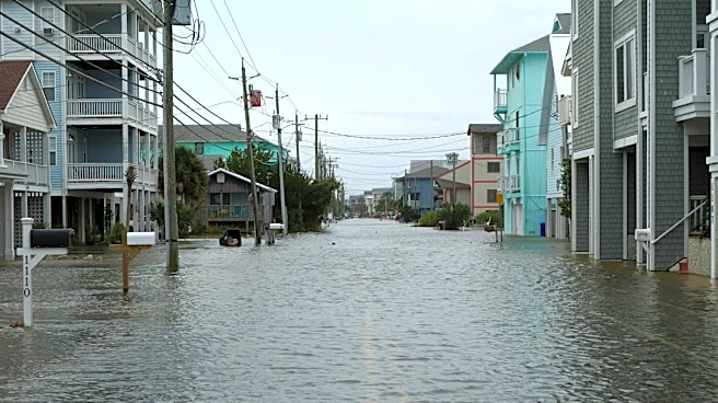
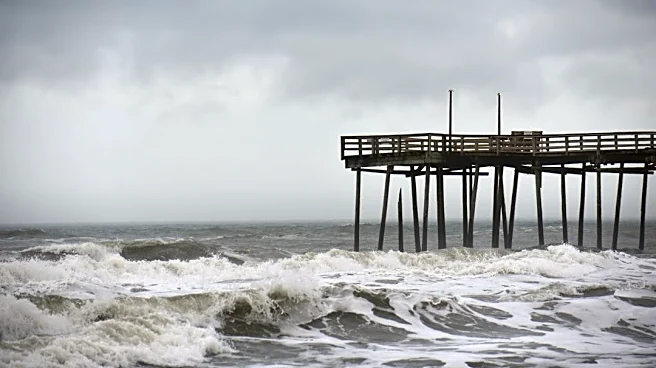
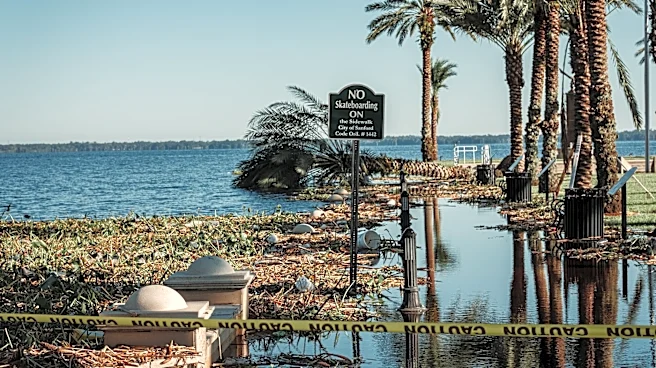
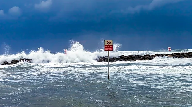
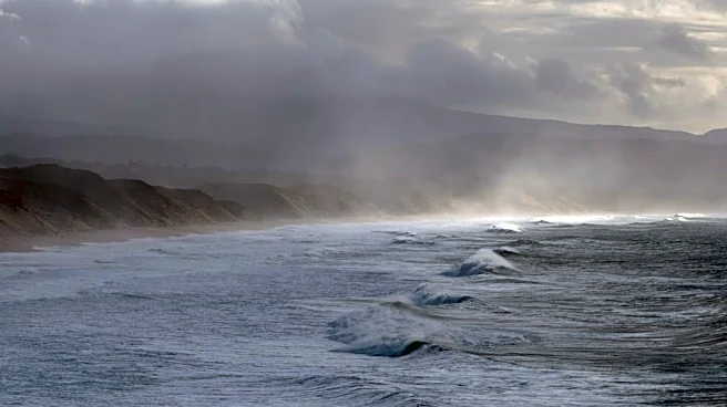
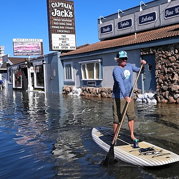
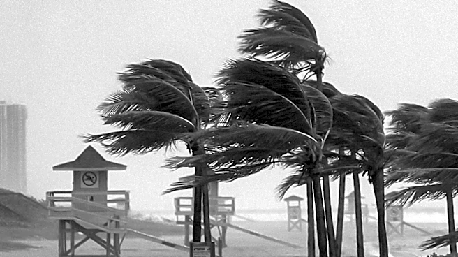
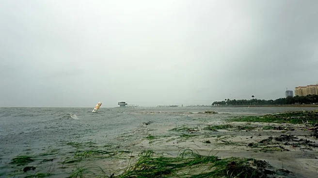
and a low-pressure system situated over the Bahamas, resulting in strong winds and dangerous surf. Wind gusts are anticipated to reach 30-35 mph through Tuesday night. Additionally, tropical moisture is expected to move northward into the Treasure Coast and Brevard County on Tuesday night and Wednesday, increasing the chance for scattered showers and thunderstorms. These storms could produce 1-3 inches of rainfall, potentially leading to minor flooding, particularly south of Cape Canaveral. Several beach crossings and boat ramps in Brevard County have already been closed due to the strong and damaging surf.
Why It's Important?
These weather advisories are important for residents and visitors along Florida's Atlantic coast, as they indicate a significant risk of coastal flooding, beach erosion, and hazardous marine conditions. The strong winds and high surf pose immediate dangers to coastal properties and infrastructure, potentially causing damage and disrupting daily activities. The closure of beach crossings and boat ramps highlights the severity of the surf conditions, impacting recreational and commercial maritime activities. Furthermore, the anticipated rainfall, while potentially localized, could exacerbate flooding in low-lying coastal areas. The combination of these factors underscores the need for preparedness and caution, as these weather events can lead to economic losses from property damage and business interruptions, and pose safety risks to individuals in affected areas.
What's Next?
The coastal flood warning and high surf advisories are expected to remain in effect until Friday morning. Residents and authorities will continue to monitor the situation closely, with the FOX 35 Storm Team providing ongoing updates. The tropical moisture moving into the region on Tuesday night and Wednesday will bring an increased chance of scattered showers and thunderstorms, which could lead to additional minor flooding. Individuals in affected areas should remain vigilant, follow local emergency instructions, and avoid hazardous coastal activities. Further closures of beaches or other coastal access points may occur if conditions worsen. The focus will be on managing potential flooding and erosion, and ensuring public safety until the weather systems dissipate.
Beyond the Headlines
The recurring nature of such coastal weather events in Florida points to broader implications concerning climate resilience and infrastructure planning. The continuous threat of coastal flooding and erosion necessitates long-term strategies for coastal protection, including potential investments in seawalls, dune restoration, and updated building codes for coastal properties. These events also highlight the economic vulnerability of coastal communities, which rely heavily on tourism and marine industries. The closures of beaches and boat ramps, even temporarily, can have a ripple effect on local businesses. Furthermore, the need for effective public communication and emergency response systems is underscored, as timely warnings and clear instructions are crucial for minimizing risks and ensuring public safety in the face of dynamic weather patterns.