


What's Happening?
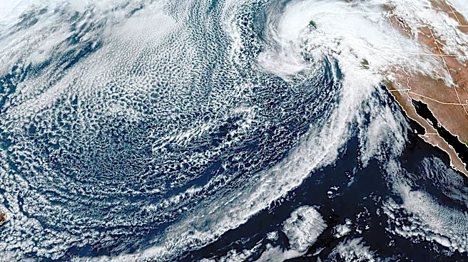
The 2026 hurricane season is being significantly influenced by a super El Niño, characterized by unusually warm ocean waters in the central and eastern Pacific. This phenomenon is affecting weather patterns globally, with notable impacts on hurricane activity
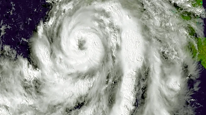
in both the Atlantic and Pacific Oceans. In the Atlantic, increased wind shear is suppressing hurricane formation, while the Pacific is experiencing heightened tropical activity. The super El Niño is expected to become one of the strongest on record, potentially altering typical weather patterns and affecting hurricane development throughout the season.
Why It's Important?
The influence of a super El Niño on hurricane activity has critical implications for regions prone to tropical storms. In the Atlantic, reduced hurricane activity could mean fewer storms making landfall, potentially lowering the risk of damage and economic loss. Conversely, increased activity in the Pacific raises the threat to coastal areas, including Mexico and Hawaii, which may face more frequent and intense storms. Understanding these patterns is crucial for disaster preparedness and response, as well as for informing public safety measures and insurance considerations.
What's Next?
As the hurricane season progresses, meteorologists will continue to monitor the effects of El Niño on storm development. The Atlantic may see a delayed and less intense hurricane season, while the Pacific could experience more frequent storms. Authorities in affected regions are likely to adjust their preparedness plans based on evolving forecasts. Continued research into El Niño's impacts will help refine predictive models and improve future response strategies.