



What's Happening?
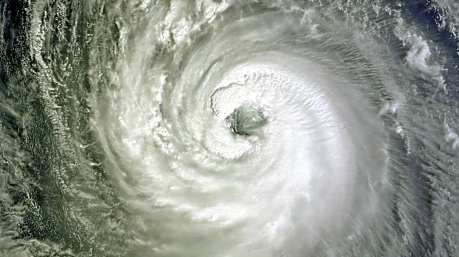
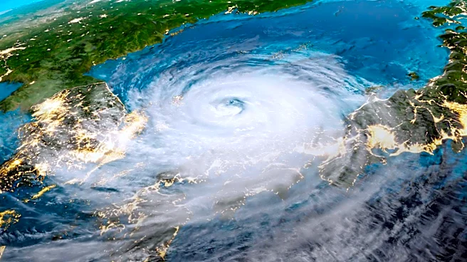
Typhoon Dolphin has reintensified to a Category 4 equivalent storm northeast of Iwo To in Ogasawara, Japan, as of August 4, 2026. The typhoon is moving westward and is forecast to make landfall on Okinawa by August 7. The Joint Typhoon Warning Center
(JTWC) reports that the storm's maximum sustained winds have reached 215 km/h (130 mph), with gusts up to 260 km/h (160 mph). The typhoon is expected to briefly intensify further before beginning a slow weakening process. Environmental conditions, including sea-surface temperatures and wind shear, are influencing the storm's intensity and track.
Why It's Important?
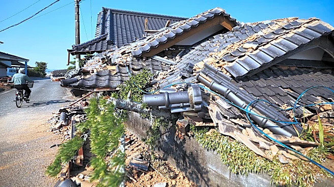
The reintensification of Typhoon Dolphin poses a significant threat to the Ryukyu Islands and Okinawa, with potential impacts including severe wind damage, flooding, and disruptions to daily life and economic activities. The storm's approach necessitates preparedness measures from local authorities and residents to minimize risks and ensure safety. The typhoon's path and intensity are being closely monitored by meteorological agencies to provide timely updates and warnings.
What's Next?
As Typhoon Dolphin approaches Okinawa, local authorities are likely to implement evacuation plans and reinforce infrastructure to withstand the storm's impact. The JTWC and other meteorological agencies will continue to track the typhoon's progress and provide updates on its intensity and trajectory. Residents in affected areas are advised to stay informed and follow safety guidelines to protect themselves and their property.