


What's Happening?
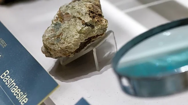
NASA has launched its new imaging spectrometer, AVIRIS-5, to conduct operational flights over the western United States. This initiative aims to map rocks containing lithium and other critical minerals as part of the Geological Earth Mapping Experiment
(GEMx) campaign, in collaboration with the U.S. Geological Survey (USGS). The AVIRIS-5, located in the nose of NASA's ER-2 aircraft, offers twice the spatial resolution compared to its predecessor, enabling detailed mapping of mineral resources. The spectrometer's flights have covered over 200 hours this year, focusing on areas in California, Nevada, and other states. The data collected will aid in accelerating the discovery and assessment of resources crucial for the energy transition.
Why It's Important?
The mapping of lithium and other critical minerals is vital for the U.S. economy and national security, as these materials are essential for batteries, electronics, and military systems. The AVIRIS-5's ability to provide rapid and precise geological assessments over large areas can significantly reduce costs and environmental risks associated with mining activities. By identifying potential mineral deposits from the air, the initiative supports sustainable resource management and helps mitigate environmental impacts. The collaboration between NASA and USGS under the GEMx project exemplifies a strategic approach to resource exploration, benefiting both industry stakeholders and local communities.
What's Next?
As the GEMx project progresses, further integration of aerial data with geological maps and field sampling is anticipated. The focus will remain on the dry regions of the American West, where the exposed terrain allows for optimal spectral analysis. The initiative aims to enhance the transparency and efficiency of mineral exploration, with potential applications extending to soil degradation monitoring and pollution detection. The continued collaboration between NASA and USGS will ensure that the data collected contributes to informed decision-making and sustainable resource management.
Beyond the Headlines
The AVIRIS-5's technology, rooted in centuries-old principles of light decomposition, represents a significant advancement in imaging spectroscopy. Its use of black silicon to reduce noise and increase measurement accuracy highlights the innovative approach to mineral mapping. The open access to data ensures transparency and reproducibility, allowing various stakeholders to utilize the findings for environmental protection and educational purposes. The initiative not only aids in resource exploration but also addresses ecological and social concerns, promoting responsible mining practices and community engagement.