




What's Happening?
Central Florida is seeing progress in its historic drought conditions, with recent rainfall helping to improve the situation. This relief comes as the region enters its 'Dry Season,' typically beginning around October 15 for cities like Orlando, Sanford,
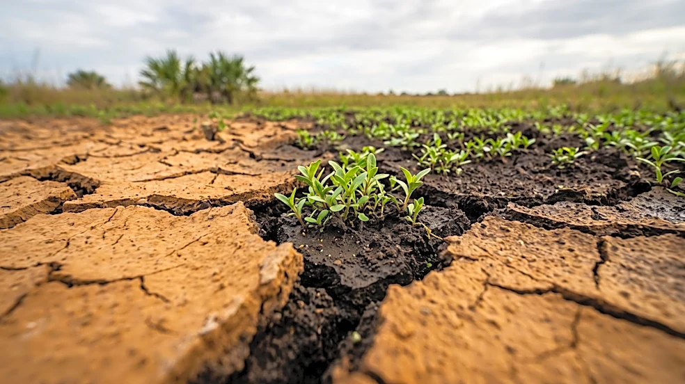
and Daytona Beach, and October 17 for Melbourne, according to the National Weather Service. The U.S. Drought Monitor maps illustrate the evolution of drought conditions, showing that Florida's drought peaked in late winter and early spring, with nearly the entire state experiencing severe drought or worse. Summer thunderstorms have since contributed to improvements across much of the state, though significant rainfall deficits and lingering drought impacts persist. Central Florida has endured a particularly challenging period, experiencing the longest continuous stretch of severe drought conditions since the multi-year drought of 2000 and 2001.
Why It's Important?
The timing of this drought relief is critical for Central Florida, as the region transitions into a period of typically less frequent rainfall. While the immediate improvement is beneficial for agriculture, water resources, and wildfire prevention, the onset of the dry season means that sustained efforts and favorable weather patterns will be necessary to prevent a return to severe drought. The prolonged drought conditions experienced by Central Florida have had significant impacts on local ecosystems, water supplies, and potentially the agricultural sector. Any sustained improvement helps to alleviate stress on these systems. The developing El Niño pattern, which is expected to bring more frequent storm systems and additional rainfall during the fall and winter, offers a positive outlook for continued drought improvement, which is vital for the region's long-term water security and economic stability.
What's Next?
Central Florida is heading into its dry season with some welcome progress in drought relief, but the situation is not fully resolved. The Climate Prediction Center's outlook for October through December favors above-average precipitation across Central and Northern Florida, largely due to the developing El Niño pattern. This pattern is anticipated to drive more moisture and strong storms into the area, potentially leading to a wetter and cooler winter than average. However, seasonal outlooks are not guaranteed, and continuous rainfall will be required to fully replenish water supplies, improve lake levels, and mitigate longer-term drought impacts. Residents and water management authorities will need to remain vigilant, monitoring rainfall and water levels closely. Continued conservation efforts will likely be encouraged to ensure water resources are managed effectively throughout the dry season and into the projected wetter winter.
Beyond the Headlines
The cyclical nature of drought and relief in Central Florida underscores the broader challenges of managing water resources in a dynamic climate. The region's experience with its longest continuous period of severe drought since the early 2000s highlights the increasing intensity and frequency of such events. While El Niño offers a short-term solution, the long-term implications of climate variability suggest a need for more resilient water infrastructure and comprehensive water conservation strategies. This includes exploring alternative water sources, improving water efficiency in agriculture and urban areas, and fostering public awareness about water stewardship. The ongoing drought story in Central Florida serves as a microcosm of the larger national conversation around climate adaptation and sustainable resource management, emphasizing the importance of proactive planning to ensure water security for future generations.