





What's Happening?
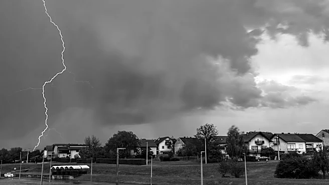
Maryland is under a severe weather alert with the potential for strong to severe storms on Tuesday afternoon and evening. The Storm Prediction Center has placed most of the state under a slight risk for severe weather, with damaging winds and heavy rain
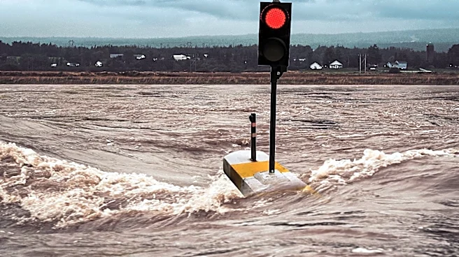
as primary concerns. Flood watches are in effect, and residents are advised to be cautious of potential flash flooding. The storms are expected to bring gusts of 50-60 mph and a low-end risk for tornadoes.
Why It's Important?
The severe weather poses a threat to public safety and infrastructure in Maryland. Damaging winds and heavy rain could lead to power outages, property damage, and hazardous travel conditions. The risk of flash flooding is particularly concerning for low-lying areas and could impact emergency response efforts. Residents are urged to stay informed and take necessary precautions to ensure their safety.
What's Next?
As the storm system moves through, residents should monitor weather updates and be prepared for potential impacts on travel and daily activities. Local authorities and emergency services are likely to provide updates on road conditions and any necessary closures. The public is advised to report power outages and avoid downed power lines.