


What's Happening?
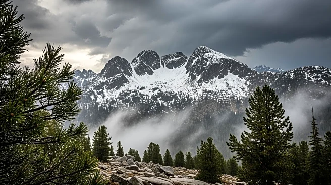
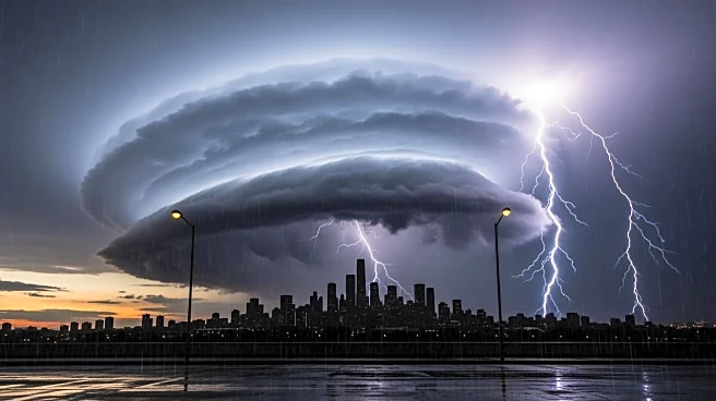
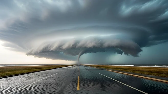
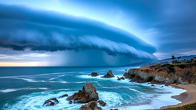
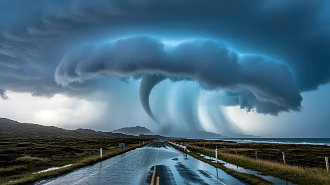
Southern California is preparing for a severe storm system expected to bring multiple weather hazards, including potential tornadoes, flash flooding, and significant snowfall in mountainous areas. The National Weather Service has issued warnings for high
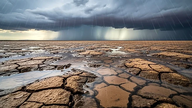
winds and heavy rainfall, with the storm predicted to peak during Monday's rush hour. The merging of two low-pressure systems is creating a rare and dangerous weather event, with rainfall rates possibly exceeding one inch per hour. The storm poses a particular threat to burn scar areas, where debris flows could occur.
Why It's Important?
The storm's arrival during a busy travel period increases the risk of accidents and disruptions. The potential for flash flooding and debris flows in burn scar areas could lead to evacuations and property damage. The storm also underscores the challenges of managing extreme weather in a region already dealing with the impacts of climate change, such as increased wildfire activity and drought. The situation highlights the need for robust emergency response plans and infrastructure capable of withstanding severe weather events.
What's Next?
As the storm progresses, residents are advised to monitor weather updates and heed evacuation warnings, particularly in vulnerable areas. The storm is expected to continue affecting the region through mid-week, with additional waves of rain and snow possible. Authorities will likely focus on assessing damage and coordinating recovery efforts once the storm subsides. The event serves as a reminder of the importance of community preparedness and resilience in the face of natural disasters.