

What's Happening?
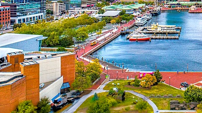
Baltimore is experiencing a hot and humid day on August 10, 2026, with temperatures expected to reach the lower 90s, feeling over 100°F due to high humidity. The National Oceanic and Atmospheric Administration (NOAA) has issued a severe storm risk, predicting
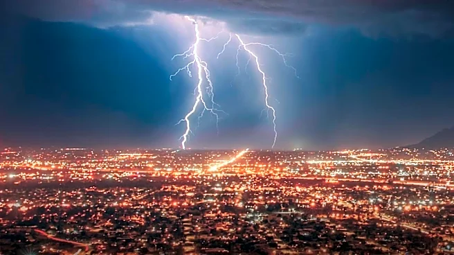
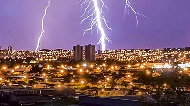
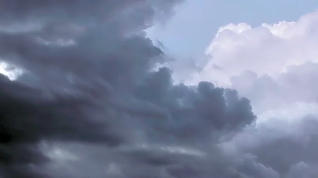
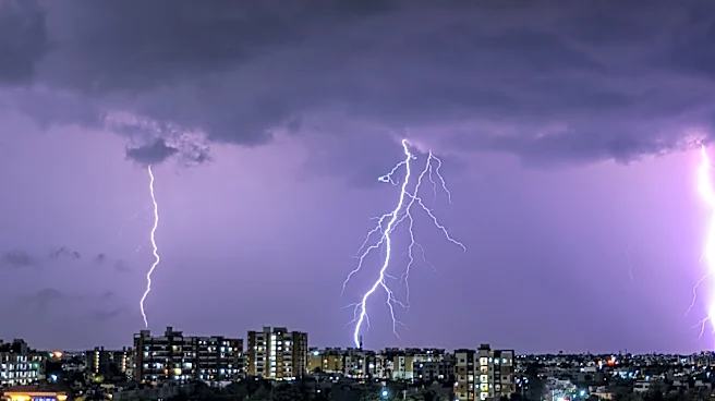
thunderstorms with potential wind gusts over 60 mph and dangerous lightning. A line of thunderstorms from Western Pennsylvania is expected to bring clouds and showers to areas north and west of Baltimore. The weather conditions are part of a broader pattern of hot and humid air masses affecting the region.
Why It's Important?
The severe weather conditions pose significant risks to public safety, particularly due to the potential for high winds and lightning. Such weather can disrupt daily activities, damage property, and pose health risks, especially to vulnerable populations. The forecast highlights the importance of preparedness and awareness among residents and local authorities. The ongoing heatwave also underscores broader climate patterns affecting the region, with implications for energy consumption, public health, and infrastructure resilience.
What's Next?
As the severe weather system progresses, residents are advised to stay informed through local weather updates and take necessary precautions. The forecast suggests a gradual improvement in weather conditions by the weekend, with a cold front expected to bring relief from the heat and humidity. Authorities and emergency services will likely remain on alert to respond to any weather-related incidents. The situation also calls for continued monitoring of weather patterns and potential impacts on the region.