




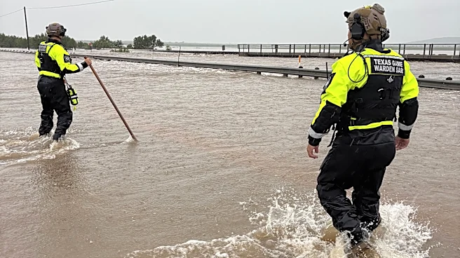


What's Happening?
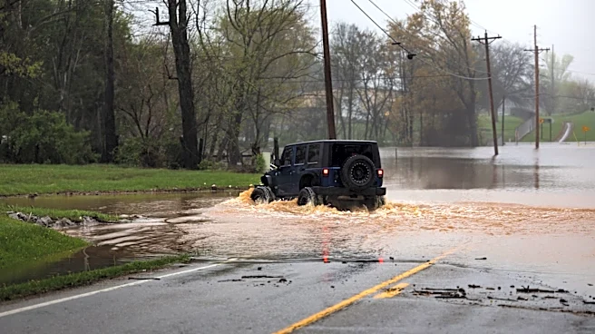
Federal forecasters have warned of considerable to catastrophic flooding in Texas, particularly along the U.S. 90 corridor west of San Antonio. The National Weather Service has elevated the risk for heavy rain and flash flooding to the highest level,
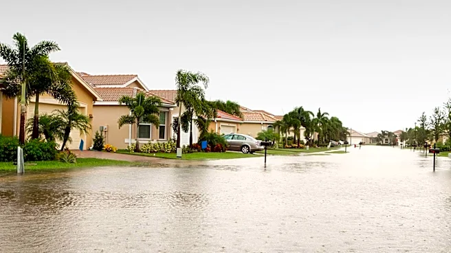
with some areas expected to receive 10 to 20 inches of rain. This forecast raises significant concerns for residents and vacationers unfamiliar with the region's flash flood risks. The areas most at risk include Medina, Frio, and Uvalde counties, among others. The potential for river flooding is high, with several rivers, including the Pecos and Rio Grande, at risk of overflowing.
Why It's Important?
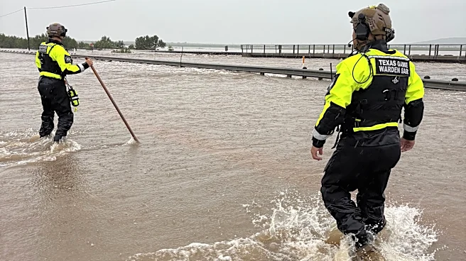
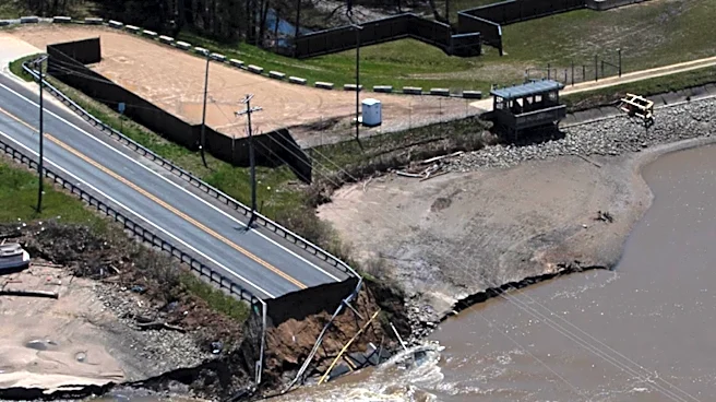
The forecasted flooding poses a severe threat to life and property in the affected regions. The potential for catastrophic flooding could lead to significant disruptions, including road closures, property damage, and possible evacuations. The situation is particularly concerning given the recent history of deadly flash floods in the area. The state's response, including the issuance of a disaster declaration by Governor Greg Abbott, underscores the urgency of the situation. Effective communication and preparedness are critical to minimizing the impact on communities and ensuring public safety.
What's Next?
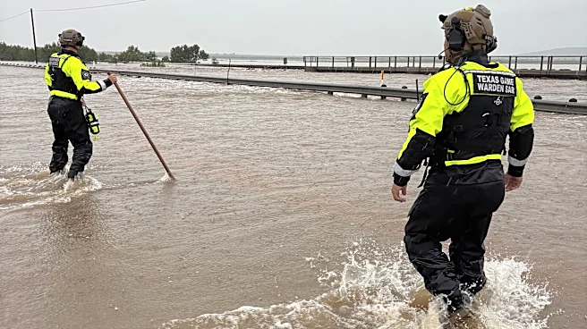
As the weather system continues to develop, residents are urged to stay informed and prepared for potential evacuations. Local authorities are likely to implement road closures and other safety measures as needed. The state will continue to monitor the situation closely, with emergency services on standby to respond to any incidents. The public is advised to avoid travel in affected areas and to have emergency supplies ready. The situation remains fluid, and further updates from the National Weather Service and local agencies are expected.