




What's Happening?
Metro Detroit is bracing for a significant shift in weather patterns, transitioning from milder temperatures to colder conditions with a chance of rain and snow. The 4Warn Weather team reported that after Veterans Day saw temperatures in the lower to mid-50s,
a colder and more unsettled weather system is moving into the region. Wednesday evening brought bands of light rain across Southeast Michigan, with more persistent showers expected north of Interstate 69. Overnight lows were projected to be in the mid-30s to lower 40s. Thursday is expected to bring another round of showers in the afternoon as a strong cold front sweeps south, ushering in a much colder air mass with gusty northerly winds up to 25 mph. High temperatures on Thursday are only expected to reach the mid- to upper 40s, with temperatures falling as the colder air settles in. The combination of wind, rain, and dropping temperatures will make outdoor conditions feel increasingly chilly.
Why It's Important?
This weather shift is important for Metro Detroit residents as it signals the approaching winter season, requiring adjustments in daily routines and preparations. The colder temperatures and potential for mixed precipitation can impact transportation, with slick roads possible, especially in areas that might see a rain-and-snow mix. For communities farther north, particularly near Saginaw Bay and the Thumb, accumulating wet snow could affect travel and require snow removal efforts. The change in weather also has implications for energy consumption as heating demands will increase. Businesses reliant on outdoor activities or transportation may experience disruptions. Residents will need to prepare their homes and vehicles for winter conditions, including checking heating systems and ensuring tires are suitable for colder, potentially icy roads. The forecast serves as a reminder for the region to transition from autumn to winter preparedness.
What's Next?
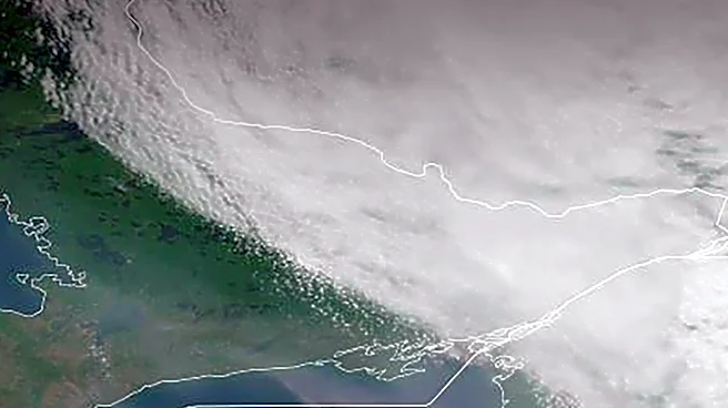
The forecast indicates that as colder air pours into the Great Lakes region, there is a possibility of lake-effect rain and snow showers from Thursday night into Friday. The greatest potential for accumulating wet snow is near Saginaw Bay and the Thumb, particularly around Port Huron, where some communities could see minor accumulations, especially on grassy surfaces. While widespread accumulating snow is not expected for Detroit and its immediate suburbs, a few wet snowflakes or a brief rain-and-snow mix cannot be ruled out. Friday is anticipated to be one of the coldest days of the week, with afternoon highs struggling to reach 40 degrees. Lake-effect precipitation may continue into Saturday in the Thumb. The colder air is expected to persist through the weekend, with highs generally in the 40s, though Sunday may bring improving conditions with some sunshine returning. Overnight temperatures will dip to freezing, with a gradual warming trend possible early next week.
Beyond the Headlines
The early arrival of colder weather and potential for snow in Metro Detroit highlights broader climate patterns and the variability of seasonal transitions. While not explicitly linked to climate change in the source, such shifts can influence public perception and preparedness for extreme weather events. The focus on lake-effect snow underscores the unique meteorological dynamics of the Great Lakes region, where large bodies of water significantly impact local weather. This also brings attention to the infrastructure readiness of municipalities for winter weather, including road treatment and emergency services. The need for residents to adapt quickly to changing conditions can also influence local economies, from retail sales of winter gear to increased demand for home maintenance services. The detailed weather tracking by local news outlets becomes a critical public service, providing essential information for safety and planning in a region accustomed to significant seasonal changes.