





What's Happening?
Matthew Zimmerman, CEO of FarSounder, emphasizes that the widespread deployment of S-100 based products, while promising a navigation transformation, is severely limited by the lack of underlying data. Only about 50% of coastal waters have been surveyed
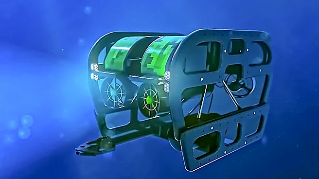
to modern standards, and this coverage is largely confined to main shipping channels. For vessels operating outside these routes, charted bathymetry is often unreliable, necessitating real-time underwater perception for safe navigation. FarSounder has been developing 3D Forward-Looking Sonar (3D FLS) technology for 25 years, with its Argos navigation systems providing real-time images of what is ahead of a vessel up to 1000 meters and creating bathymetric maps. The company's initial motivation was environmental, aiming to prevent whale ship-strike deaths and oil spills by helping ships avoid underwater obstacles.
Why It's Important?
The inadequacy of charted bathymetry poses significant safety and environmental risks for maritime operations in the U.S. and globally. Vessels operating in poorly surveyed coastal areas face an increased threat of underwater navigation hazards, which can lead to groundings, environmental damage from oil spills, and potential loss of life. This issue affects a wide range of vessels, from cruise ships and superyachts to patrol craft and research vessels. The reliance on outdated or incomplete charts, even in seemingly well-charted areas like the U.S. East Coast, can lead to dangerous miscalculations, as demonstrated by instances where charted depths were significantly inaccurate. FarSounder's technology addresses a critical gap by providing real-time underwater awareness, enhancing navigation safety, and contributing to environmental protection by helping avoid collisions with marine life and underwater structures.
What's Next?
FarSounder continues to innovate its technology, integrating its below-water sonars with above-water perception systems like radars and cameras to provide a comprehensive real-time navigation picture. The company's software fuses data from various sources, including SEA.ai camera systems, AIS/ARPA targets, and AI-processed radar targets, all overlaid on standard nautical charts. FarSounder also facilitates the anonymous sharing of bathymetric maps through the IHO’s crowdsourced bathymetry initiative, contributing to the Seabed 2030 project. This collaborative approach aims to improve global bathymetric data over time. The company's global dealer network supports new-build and refit installations, indicating a push for wider adoption of its technology to enhance maritime safety and environmental stewardship.
Beyond the Headlines
The issue of inadequate underwater mapping extends beyond immediate navigation safety to broader implications for marine science, resource management, and national security. The lack of comprehensive bathymetric data hinders accurate climate modeling, understanding of ocean currents, and effective management of marine ecosystems. For the U.S., this data gap can impact naval operations, coastal resilience planning, and the development of offshore energy infrastructure. The reliance on crowdsourced bathymetry, while beneficial, also raises questions about data standardization, quality control, and the equitable distribution of mapping efforts. The development and adoption of advanced sonar technologies like FarSounder's represent a shift towards proactive, real-time environmental awareness, potentially fostering a new era of maritime operations that are both safer and more ecologically responsible.