


What's Happening?
The United Nations University Institute for Water, Environment and Health (UNU-INWEH) is providing a free online course titled 'Drought Monitoring with Google Earth Engine.' This course is designed for professionals and postgraduate students interested
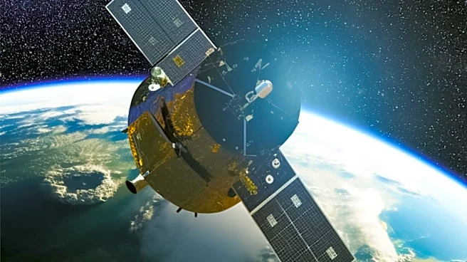
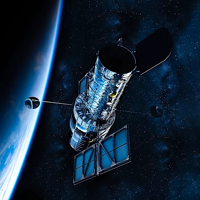
in climate change, water resources, and disaster risk management. Participants will learn practical methods for monitoring drought using satellite data, remote sensing, drought indices, and cloud-based geospatial technologies. The curriculum covers applying drought indices to assess and monitor conditions, conducting spatiotemporal and time-series analysis to examine drought across space and time, and identifying drought hotspots using zonal statistics. Additionally, the course will teach participants how to process geospatial data in the cloud using Google Earth Engine, a platform for analyzing large collections of satellite imagery and Earth observation datasets. The course aims to equip learners with skills relevant to environmental monitoring, water management, and disaster preparedness, particularly for those in drought-prone regions.
Why It's Important?
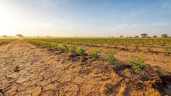
Drought has significant impacts on agricultural production, water supplies, ecosystems, and livelihoods, making its monitoring crucial for identifying vulnerable areas and enabling timely interventions. This free online course from UNU-INWEH addresses a critical need for enhanced technical skills in drought monitoring, especially in the context of increasing climate variability. By providing access to advanced tools like satellite data and Google Earth Engine, the course empowers professionals and students to better understand and respond to drought conditions. Improved drought monitoring capabilities can lead to more effective water resource management, better agricultural planning, and more robust disaster risk reduction strategies. The skills gained can help strengthen the evidence base for environmental monitoring and inform appropriate responses, ultimately contributing to greater climate resilience and food security in affected regions.
What's Next?
Prospective learners are encouraged to visit the official UNU-INWEH website and navigate to their Online Learning Centre to register for the 'Drought Monitoring with Google Earth Engine' course. They should review the course description, eligibility requirements, and learning arrangements, as well as confirm whether the course is currently accepting participants and if there are any completion requirements or technical prerequisites. While the announcement does not specify a registration deadline, course duration, or certificate availability, these details will be available on the official course page. The skills acquired from this course are expected to be immediately applicable for professionals in fields such as environmental science, hydrology, agriculture, and disaster risk reduction, enabling them to contribute to more informed decision-making and proactive measures against drought.
Beyond the Headlines
The availability of free, high-quality online courses like this one from UNU-INWEH signifies a broader trend towards democratizing access to critical scientific and technical knowledge. By leveraging cloud-based platforms such as Google Earth Engine, the course not only teaches essential drought monitoring techniques but also promotes the use of scalable and accessible technologies for environmental analysis. This initiative can help bridge the knowledge gap in regions that may lack resources for traditional training, fostering a more globally informed and capable workforce in climate resilience. The emphasis on practical, hands-on skills with real-world data sets also highlights a shift towards applied learning, ensuring that participants can directly translate their education into actionable strategies for mitigating the impacts of drought and strengthening community resilience against climate-related challenges.