


What's Happening?
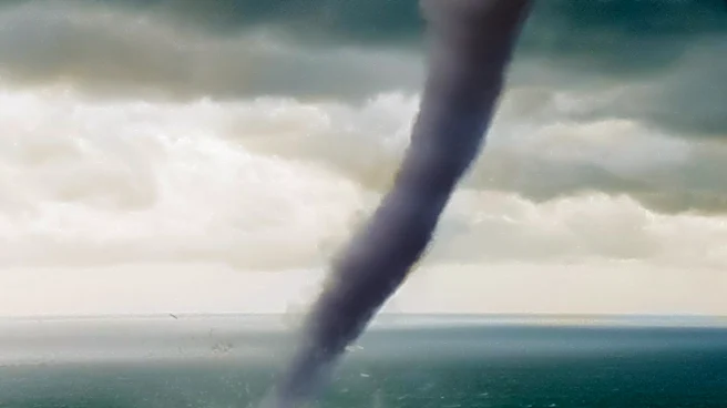
Waterspouts, which are funnel clouds forming over water, are similar in structure to tornadoes but are generally less intense and smaller. They typically last less than 30 minutes and are about 10 meters in diameter and 100 meters deep. These phenomena
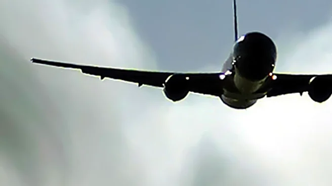
are produced along surface airmass convergence boundaries and are not usually associated with a mid-level rotation within the parent cumulus or cumulonimbus cloud. While surface spray may indicate their presence, a waterspout may not be fully visible until wind speeds in its vortex reach approximately 35 knots. Once fully developed, they appear as distinctive funnels filled with water droplets. Waterspouts represent a considerable danger to low-flying aircraft, particularly helicopters operating over the sea, due to their potential for severe turbulence and difficulty in detection unless completely formed. They are also rarely stable vertical features, necessitating a wide berth for any nearby aircraft.
Why It's Important?
The presence of waterspouts in U.S. coastal regions, especially in areas with significant maritime air traffic, poses a critical safety concern for aviation. Low-flying aircraft, including those involved in search and rescue, offshore operations, or coastal surveillance, are particularly vulnerable. Encounters with waterspouts can lead to severe turbulence, potentially causing structural damage to aircraft, injuring crew and passengers, or even resulting in a loss of control, especially given the low altitudes at which these aircraft operate. The difficulty in visually detecting waterspouts until they are fully developed further exacerbates the risk, as pilots may have limited time to react and take evasive action. This highlights the need for robust weather monitoring systems and pilot awareness programs to mitigate the dangers associated with these meteorological events, ensuring the safety of both civilian and military air operations over water.
What's Next?
To enhance safety, pilots are advised to avoid flying under developing cumulus or cumulonimbus clouds, as weather and Doppler radar may not always detect the presence of a waterspout. Detection relies on observing disturbed sea surfaces and considerable surface spray at the base of the waterspout. In the event of an encounter, the primary actions for aircrew are to maintain control of the aircraft, ensure a safe altitude and trajectory to avoid obstacles, and check for any damage to the aircraft or occupants. Subsequently, it is crucial to warn other aircraft in the vicinity about the waterspout's location. Given the narrow diameter of waterspouts, aircraft may exit the vortex before crews have ample time to react, underscoring the importance of proactive avoidance and immediate, decisive action if an encounter occurs. Continuous training and updated protocols for pilots operating in coastal areas will be essential to address this hazard effectively.
Beyond the Headlines
The challenge posed by waterspouts extends beyond immediate aviation safety to broader implications for maritime industries and coastal communities. While less intense than land-based tornadoes, their unpredictable nature and rapid formation can impact shipping lanes, fishing vessels, and recreational boating. The economic impact could include disruptions to offshore energy operations, increased insurance premiums for maritime activities, and potential damage to coastal infrastructure if a waterspout makes landfall. Furthermore, the scientific understanding and forecasting capabilities for waterspouts, particularly their interaction with complex coastal atmospheric conditions, remain areas of ongoing research. Improving predictive models and real-time detection technologies could offer significant benefits, not only for aviation but also for enhancing overall maritime safety and resilience against these localized, yet potent, weather phenomena.