
What's Happening?
Central Florida, particularly Orlando, is bracing for a week of significant rainfall and potential flooding, according to the FOX 35 Storm Team. A stalled front and a nearby low-pressure system are contributing
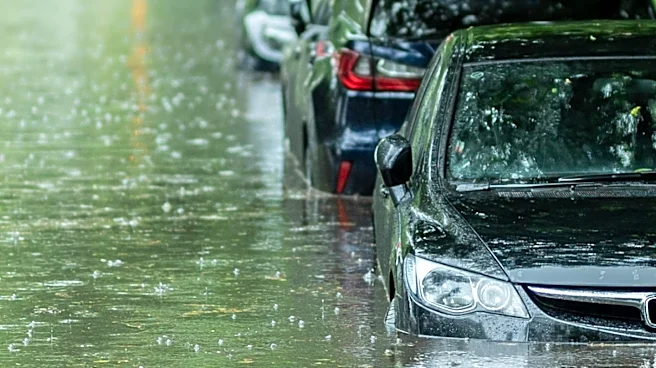
to a very moist, summer-like weather pattern. Scattered to numerous showers and storms are anticipated daily, with the highest rain chances occurring from Monday afternoon through midnight. Rainfall rates could reach 2-4 inches per hour under the heaviest storms, raising concerns for localized street and poor-drainage flooding. The Weather Prediction Center has placed east Central Florida under a flood watch. Additionally, a surface trough near the coast of Mexico in the southwestern Gulf of Mexico has a 50% chance of developing into a tropical depression over the next seven days, which could bring further heavy rain to Florida later in the week. Environmental conditions are only marginally favorable for development, suggesting a gradual process.
Why It's Important?
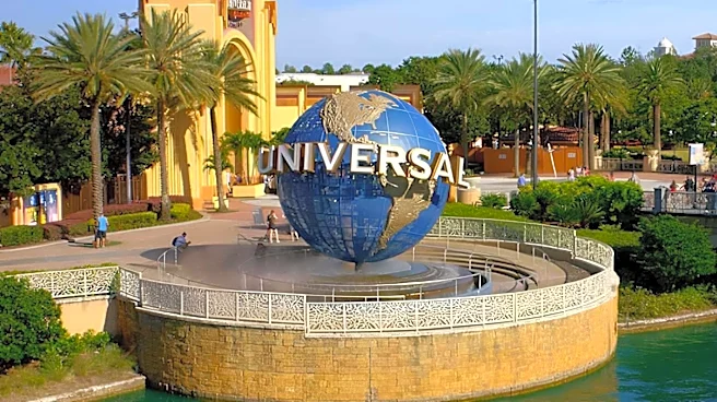
The prolonged period of heavy rain and potential flooding in Central Florida carries significant implications for residents, infrastructure, and local businesses. Flooding of roads and low-lying areas will be a primary concern, disrupting daily commutes and potentially impacting commerce. The risk of frequent lightning and isolated stronger storms with wind gusts of 40-50 mph poses safety hazards. For the tourism-dependent Orlando economy, severe weather could deter visitors and affect operations at theme parks and other attractions. The potential development of a tropical depression in the Gulf adds another layer of uncertainty, as any direct impact on Florida could lead to more widespread and severe weather events, straining emergency services and potentially causing property damage. This situation highlights the vulnerability of coastal and low-lying regions to intense rainfall and tropical weather systems.
What's Next?
The rainy weather pattern is expected to persist through the weekend, with only a gradual reduction in rain chances by Sunday. Residents should prepare for continued scattered to widespread showers and storms daily. The National Hurricane Center will continue to monitor the disturbance in the southwestern Gulf of Mexico, which has a 50% chance of forming a tropical depression over the next seven days. While it is too early to determine any direct impacts on Florida from this potential tropical system, its development could lead to further heavy rainfall. Local authorities and weather services will likely issue updated advisories and warnings as the situation evolves, particularly regarding flood watches and potential tropical storm threats. Beachgoers along Florida's Atlantic coast should also anticipate rough surf and an increased risk of rip currents as a low-pressure system moves across the state.
Beyond the Headlines
This weather event underscores the broader challenges faced by regions susceptible to tropical weather patterns and heavy rainfall, particularly in the context of a changing climate. The repeated rounds of heavy rainfall and the potential for tropical system development highlight the need for robust urban planning, drainage infrastructure, and emergency preparedness. For residents, understanding and adapting to these recurring weather phenomena becomes crucial for safety and property protection. The economic impact on a major tourist destination like Orlando also points to the broader financial vulnerabilities of regions heavily reliant on weather-sensitive industries. Furthermore, the ongoing discussions about the frequency and intensity of such events contribute to the larger discourse on climate resilience and adaptation strategies for vulnerable U.S. communities.