What's Happening?
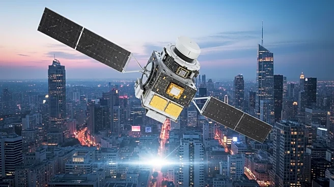
Researchers at the Norwegian University of Science and Technology have developed a new system to enhance GPS accuracy in urban environments, where signals are often disrupted by tall buildings. The system, called SmartNav, integrates multiple technologies to correct GPS signals, improving navigation for autonomous vehicles. This development addresses the challenges posed by 'urban canyons,' where GPS signals are reflected and delayed, leading to inaccurate positioning.
Why It's Important?
Improving GPS accuracy in cities is crucial for the safe operation of autonomous vehicles, which rely on precise navigation. The new system could significantly enhance the reliability of GPS in urban areas, facilitating the deployment of self-driving cars and other technologies that depend on accurate location data. This advancement could lead to safer and more efficient transportation systems in densely populated areas.


