

What's Happening?
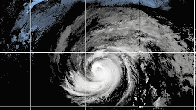
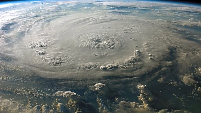
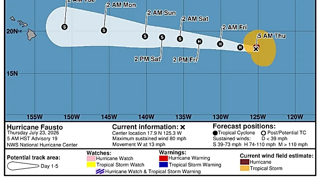
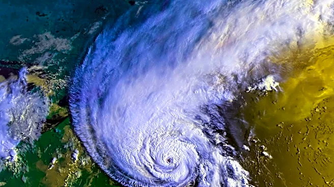
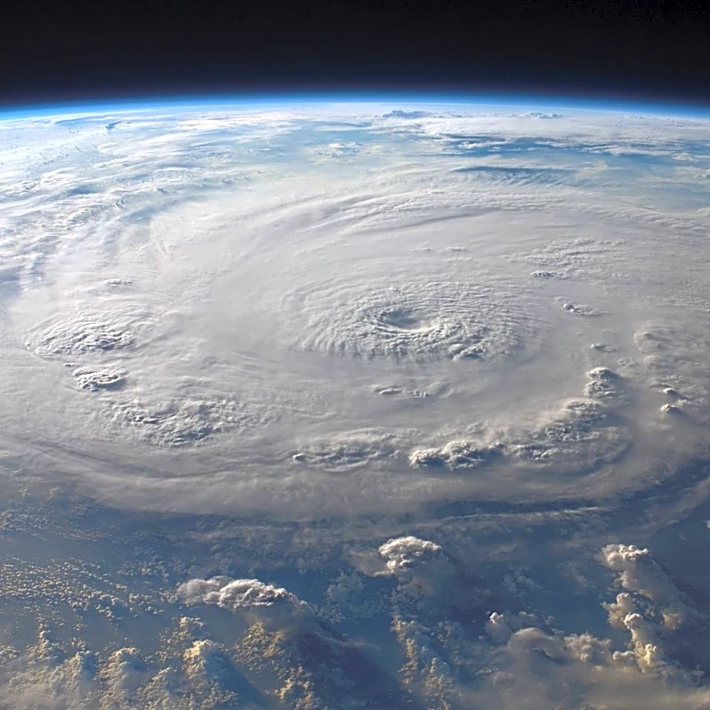
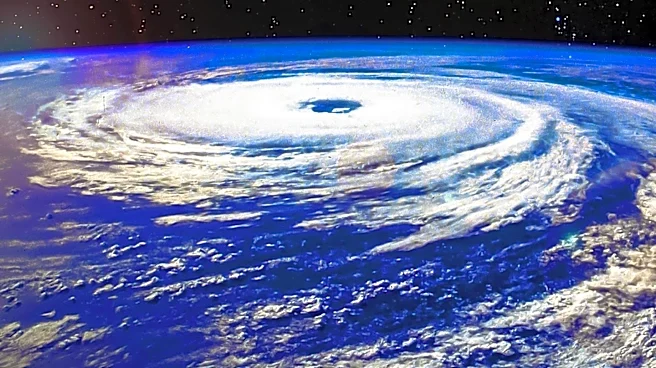
Hurricane Fausto has intensified into a Category 2 storm in the Pacific Ocean, with forecasts indicating it may approach the Hawaiian Islands next week. The National Hurricane Center in Miami has reported that the risk of impacts from wind and rainfall
in Hawaii is increasing, although the exact location and magnitude remain uncertain. Fausto is currently located about 1,385 miles east of Hilo, Hawaii, with maximum sustained winds of 105 mph. The hurricane is expected to gradually weaken over the coming days. Additionally, Tropical Storm Genevieve has formed in the Pacific, located about 570 miles south of Zihuatanejo, Mexico, with winds of 50 mph. Genevieve is expected to intensify rapidly.
Why It's Important?
The strengthening of Hurricane Fausto poses a potential threat to the Hawaiian Islands, which could experience significant wind and rainfall impacts. This development is crucial for residents and authorities in Hawaii, who may need to prepare for possible severe weather conditions. The storm's progression could also affect southern California, with swells generated by Fausto potentially causing life-threatening surf and rip tides. The formation of Tropical Storm Genevieve adds to the active weather patterns in the Pacific, highlighting the need for vigilance and preparedness in affected regions.
What's Next?
Residents and authorities in Hawaii are advised to monitor the progress of Hurricane Fausto closely as it approaches. Preparations for potential severe weather impacts may be necessary, depending on the storm's trajectory and intensity. The National Hurricane Center will continue to provide updates and advisories as the situation develops. In southern California, coastal areas should be aware of the risks associated with swells and rip tides generated by Fausto. The rapid intensification of Tropical Storm Genevieve will also be monitored for potential impacts.