


What's Happening?
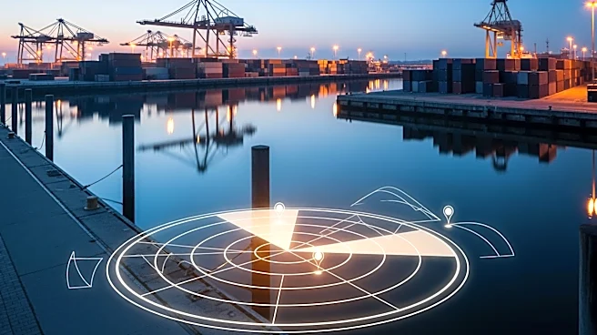
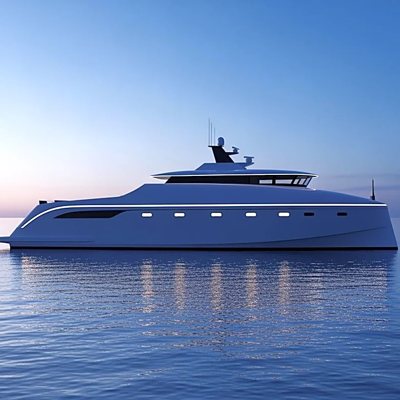
A new maritime urban tracking dataset has been developed, focusing on harbor environments. The dataset was recorded using a ferry prototype equipped with various sensors, including LiDAR, stereo cameras, and polarization cameras. These sensors provide
detailed data on the ferry's navigation and surrounding environment. The dataset aims to enhance understanding and development of autonomous maritime systems by providing comprehensive data for sensor calibration and synchronization. The dataset includes GNSS tracks and uses advanced synchronization techniques to ensure accurate data collection.
Why It's Important?
This dataset is significant for the advancement of autonomous maritime technology, offering a valuable resource for researchers and developers. By providing detailed environmental data, the dataset supports the development of more accurate and reliable autonomous navigation systems. This can lead to improvements in maritime safety, efficiency, and environmental monitoring. The dataset also facilitates research in sensor fusion and calibration, which are critical for the integration of autonomous systems in complex environments like harbors.