




What's Happening?
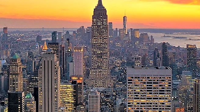
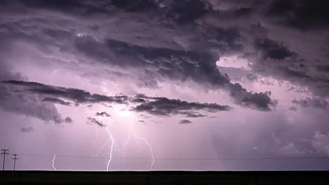
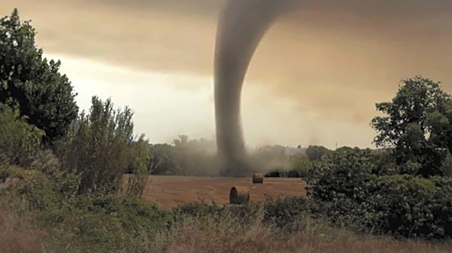
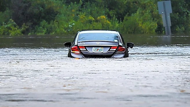
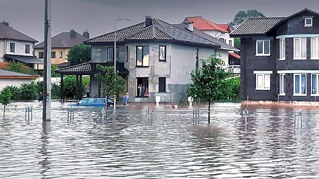
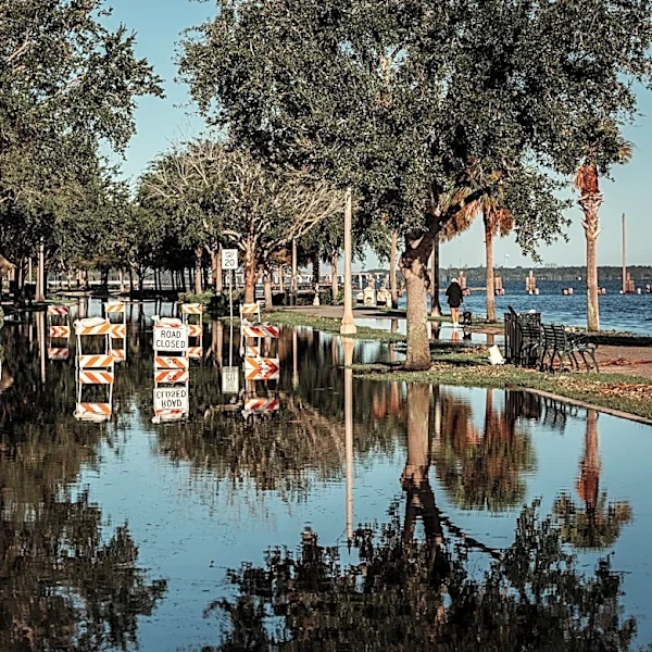
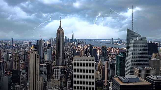
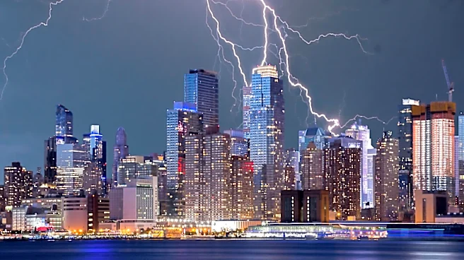
Severe thunderstorms have caused significant flash flooding in parts of New York City and New Jersey. The National Weather Service issued a Flash Flood Warning for these areas, which was in effect until late Saturday night. The storms also prompted a Tornado
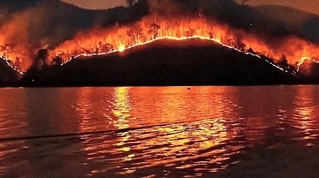
Watch in New Jersey, although it has since expired. The weather disruptions led to the cancellation of events, including a concert at Citi Field. As the storms move out, a cold front is expected to bring improved air quality and clearer skies, following the recent impact of Canadian wildfire smoke.
Why It's Important?
The severe weather events highlight the vulnerability of urban areas like New York City and New Jersey to flash flooding and other storm-related disruptions. Such incidents can have significant impacts on infrastructure, transportation, and public safety. The issuance of a Tornado Watch underscores the potential for extreme weather conditions in the region, which can lead to property damage and pose risks to residents. The situation also emphasizes the importance of timely weather alerts and preparedness measures to mitigate the effects of such natural events.
What's Next?
As the storms exit the region, authorities will focus on assessing the damage and restoring normalcy. Efforts will be made to improve infrastructure resilience against future weather events. The public will be advised to remain vigilant and stay informed about weather updates. The improvement in air quality following the cold front will be a relief for residents affected by the recent smoke from Canadian wildfires. Long-term, there may be discussions on enhancing emergency response strategies and infrastructure planning to better handle similar situations in the future.