



What's Happening?
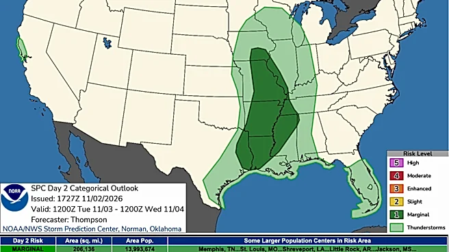
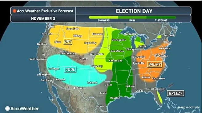
The Dallas-Fort Worth metropolitan area is preparing for severe storms expected to hit overnight, just before Election Day. A weather system that previously caused significant flooding in the Southwest is moving towards North Texas. Storm development
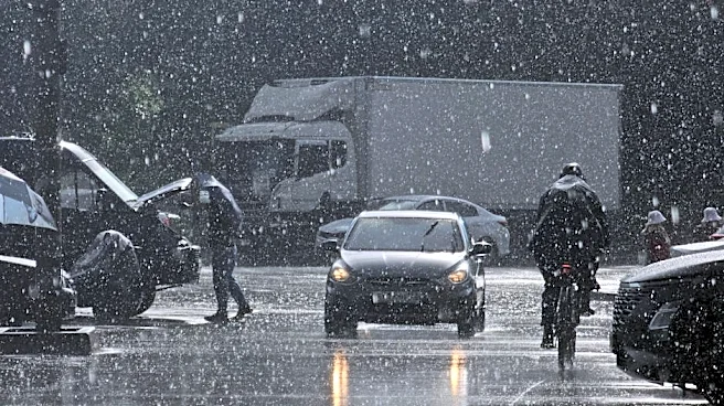
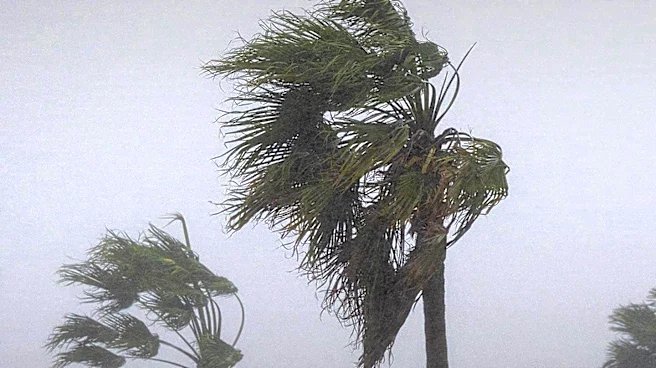
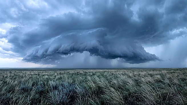
is anticipated to begin between 4 p.m. and 6 p.m. to the north and west, reaching the I-35 corridor by 10 p.m. The primary threat identified by FOX 4's Ali Turiano is damaging wind gusts, potentially reaching up to 60 mph, which could cause damage comparable to a weak tornado. Additionally, large hail, up to the size of quarters, and localized flooding are possible. Temperatures are expected to drop from a high of 85 degrees today to approximately 73 degrees following the passage of a cold front. The rain is projected to clear from the immediate Dallas-Fort Worth Metroplex by 4 a.m., ahead of the morning commute.
Why It's Important?
These severe weather conditions carry significant implications for the Dallas-Fort Worth region, particularly as they coincide with the eve of Election Day. The potential for damaging winds, large hail, and localized flooding could disrupt infrastructure, cause power outages, and create hazardous travel conditions. This could, in turn, impact voter turnout, especially for those in eastern and southeastern counties stretching into East Texas, where rain may still be present when polls open at 7 a.m. Voters in these areas might face challenges reaching polling stations or could be deterred by adverse weather. The rapid temperature drop and strong winds following the storms will also affect daily routines and outdoor activities, emphasizing the need for residents to stay informed and prepared for sudden weather shifts.
What's Next?
Following the passage of the severe weather system, strong north-westerly winds, with gusts up to 25 mph, are expected to rapidly dry out the affected areas. While voters in eastern regions may still encounter rain when polls open, conditions are anticipated to improve quickly, allowing for clearer weather by the afternoon. This suggests that voters in these areas might consider delaying their ballot casting until later in the day. The remainder of the week is forecast to bring seasonal and comfortable conditions, with high temperatures in the 70s. The region is expected to remain largely rain-free, with only a slight chance of rain along the Red River on Thursday, indicating a return to stable weather patterns after the immediate storm threat.
Beyond the Headlines
The timing of these severe storms, immediately preceding a major election, highlights broader issues concerning disaster preparedness and civic participation. While weather events are unpredictable, their impact on democratic processes can be substantial. Local authorities and election officials may need to consider contingency plans for adverse weather, such as extended voting hours or alternative polling locations, to ensure equitable access for all citizens. Furthermore, the recurring nature of severe weather in Texas underscores the ongoing need for robust infrastructure capable of withstanding such events, as well as effective public communication strategies to keep residents informed and safe. The event also serves as a reminder of the interconnectedness of environmental factors and societal functions, particularly in densely populated urban areas.