



What's Happening?
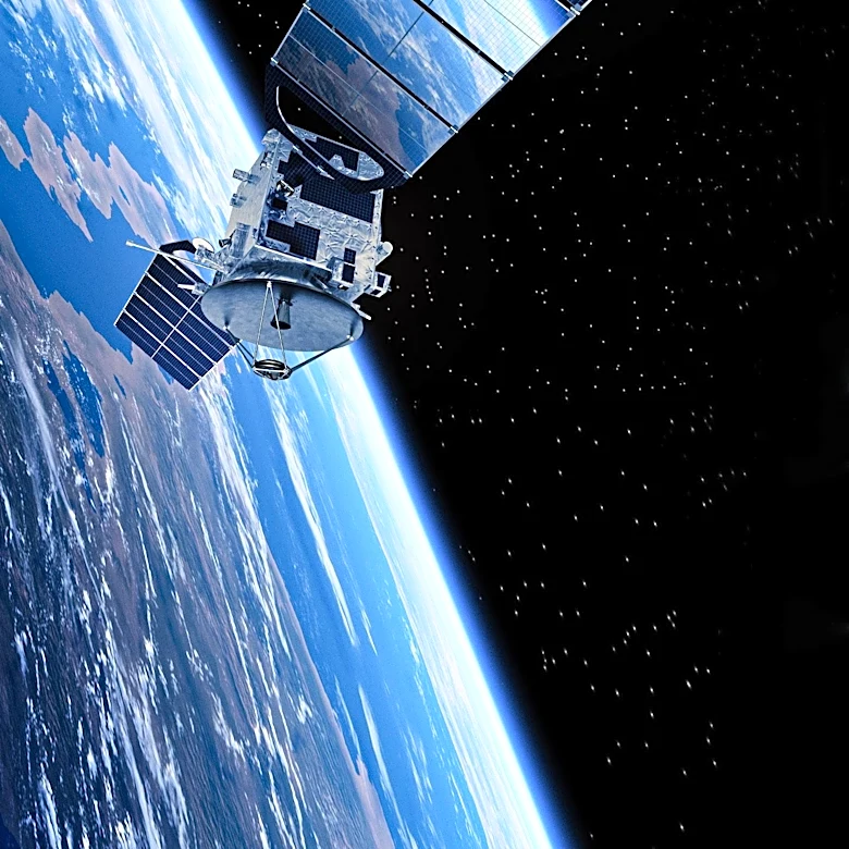
NASA is leveraging its satellite data to assist U.S. farmers in making more informed decisions regarding crop management, drought monitoring, and water stress through the Farm Action Toolkit (FAcT). This publicly available tool, developed by NASA scientists,
bridges the gap between extensive satellite-collected agricultural information and the practical needs of farmers. FAcT integrates NASA satellite data, agronomy, local knowledge, and artificial intelligence to provide insights at individual field, state-wide, and national scales. Dr. Aparna Phalke, Lead Scientist for agriculture and hydrology at NASA EarthRISE, emphasizes that satellites can detect subtle changes in crop health, moisture, temperature, and stress by observing light and heat beyond human vision. This capability is particularly crucial for monitoring and planning for drought conditions, which have caused significant agricultural losses, such as over $300 million in Alabama in 2024. FAcT utilizes three types of satellite data: optical data to capture reflected light and energy from plants, radar data to assess ground conditions even through cloud cover, and thermal data to measure heat, indicating water needs and drought stress.
Why It's Important?
The integration of NASA satellite data into agricultural practices through FAcT represents a significant advancement for U.S. farmers, offering a powerful tool to enhance productivity and resilience. By providing early detection of crop health issues, moisture levels, and potential drought, FAcT enables farmers to make timely and precise interventions, optimizing resource use and minimizing losses. This is particularly vital in regions prone to rapid-onset droughts, where traditional monitoring methods may not be sufficient. The ability to track conservation practices, as demonstrated in Kansas, also supports sustainable agriculture and helps farmers participate in relevant programs more easily. The economic impact of such tools is substantial, as informed decisions can lead to higher yields, reduced input costs, and greater financial stability for agricultural businesses. Furthermore, by strengthening farmers' knowledge with a 'view from space,' FAcT contributes to the broader goal of food security and the long-term sustainability of the U.S. agricultural sector in the face of changing climate patterns.
What's Next?
The Farm Action Toolkit is expected to expand its reach and capabilities, with ongoing efforts to tailor its applications to diverse agricultural needs across the country. The current pilot programs in Alabama, focusing on planting dates and drought information, and in Kansas, supporting conservation practices, will likely serve as models for future implementations. NASA EarthRISE and its partners will continue to refine FAcT by incorporating feedback from farmers and agricultural decision-makers, ensuring the tool remains relevant and user-friendly. There will likely be increased outreach and training initiatives to educate more farmers on how to effectively utilize the satellite data and interactive online dashboards. Future developments may include integrating more advanced AI models and expanding the types of satellite data used to provide even more comprehensive insights. The success of FAcT could also encourage further collaboration between space agencies, academic institutions, and agricultural organizations to develop similar innovative solutions for global food production challenges.
Beyond the Headlines
The deployment of NASA's satellite data in agriculture through FAcT signifies a profound shift in how farming is conducted, moving towards a more data-driven and technologically advanced approach. This initiative highlights the often-unseen benefits of space exploration and scientific research for terrestrial applications, directly impacting a fundamental industry like agriculture. The ethical implications revolve around data accessibility and ensuring that all farmers, regardless of their technological proficiency or farm size, can benefit from these tools. It also raises questions about the future of traditional farming knowledge versus reliance on high-tech solutions. Culturally, it represents a blending of ancient practices with cutting-edge science, potentially transforming the identity of the modern farmer. Long-term, this trend could lead to more resilient and sustainable food systems, better equipped to handle climate change and other environmental pressures, while also fostering a new generation of tech-savvy agricultural professionals. The initiative underscores the critical role of interdisciplinary collaboration in addressing complex societal challenges.