





What's Happening?
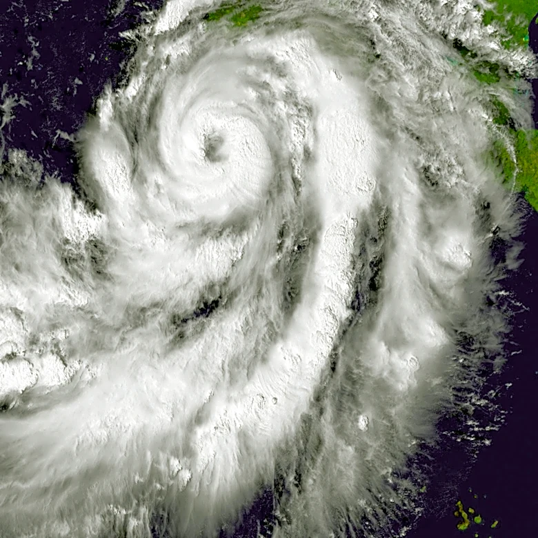
The private weather website Skymet has predicted the formation of a third cyclone over the Central Bay of Bengal around November 18. This development is expected to begin with a low-pressure area forming on Friday, influenced by a cyclonic circulation
over the south Andaman Sea and adjoining southeast Bay of Bengal. This system is projected to become well-marked by November 14 and further intensify into a depression by November 15. If environmental conditions, such as adequate heat potential, are favorable for intensification, this system could evolve into the third cyclone of the season, to be named Akvan, a name provided by Iran. The India Meteorological Department (IMD) Amaravati has issued a special bulletin indicating squally weather with wind speeds reaching 40-50 kmph, gusting to 60 kmph, over the Andaman Sea on November 14 and 15, and over the southeast Bay of Bengal on November 14 and 16. Wind speeds are expected to increase to 45-55 kmph, gusting to 65 kmph, over the southwest Bay of Bengal between November 15 and 17, and over the central Bay of Bengal during November 16 and 17.
Why It's Important?
The potential formation of a third cyclone in the Bay of Bengal carries significant implications for coastal regions, particularly West Bengal and Bangladesh, which face an increased threat of a direct strike. While early predictions suggest a lower chance of impact on the Tamil Nadu and Andhra coasts, with the storm potentially recurving before reaching these shorelines, the situation remains fluid. The development of such a weather system necessitates heightened preparedness among disaster management agencies and coastal communities. The naming of the cyclone, Akvan, by Iran, highlights the international cooperation in meteorological forecasting and disaster risk reduction. The IMD's detailed wind speed predictions underscore the need for maritime advisories and potential restrictions on fishing and shipping activities in the affected areas. The uncertainty surrounding the cyclone's precise track and landfall emphasizes the critical role of continuous monitoring and updated forecasts for effective response planning.
What's Next?
More definitive clarity regarding the cyclone's track and potential landfall is expected once the system fully develops into a depression over the central parts of the Bay of Bengal, likely by Saturday. Meteorological agencies, including Skymet and IMD, will continue to monitor the system's intensification and movement closely, providing updated bulletins and advisories. Coastal states and countries in the Bay of Bengal region, particularly West Bengal and Bangladesh, will need to activate their disaster preparedness mechanisms, including potential evacuation plans for vulnerable areas, as the threat level becomes clearer. Maritime authorities will likely issue warnings to fishermen and shipping vessels to avoid the affected sea areas. The evolution of this weather event will dictate the scale and nature of the response required from local and national disaster management bodies.
Beyond the Headlines
The recurring formation of cyclones in the Bay of Bengal underscores the broader challenges posed by climate variability and its impact on vulnerable coastal populations. While this specific event is still developing, the frequency and intensity of such weather phenomena have long-term implications for regional infrastructure, economies, and livelihoods. The potential for a third cyclone in the season highlights the ongoing need for robust early warning systems, resilient infrastructure development, and community-based disaster preparedness programs. The economic impact on fishing communities, agriculture, and trade routes in the Bay of Bengal could be substantial, even if the storm does not make direct landfall in heavily populated areas. Furthermore, the event serves as a reminder of the interconnectedness of global weather patterns and the importance of international collaboration in meteorological research and disaster response strategies.