What's Happening?
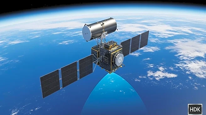
NASA has detailed the methods used to measure sea level changes globally, utilizing satellite altimeters and tidal gauges. These instruments provide data on both local and global sea levels, which are influenced by factors such as Earth's temperature and melting glaciers. The combination of satellite and ground-based measurements allows scientists to create a comprehensive view of sea level changes and their implications for climate change.
Why It's Important?
Accurate measurement of sea level changes is critical for understanding the impacts of climate change, particularly in coastal regions. Rising sea levels can lead to increased flooding, erosion, and habitat loss, affecting millions of people worldwide. By monitoring these changes, scientists can better predict future trends and inform policy decisions aimed at mitigating the effects of climate change. This research is essential for developing strategies to protect vulnerable communities and ecosystems.


