


What's Happening?
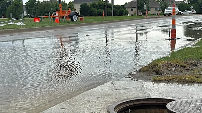
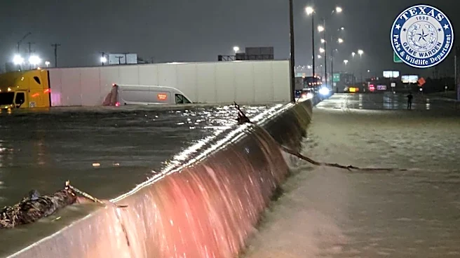
Large areas of Texas are under flood and flash flood warnings due to heavy rainfall, affecting both urban and rural communities. The National Weather Service (NWS) has issued warnings primarily for South-Central Texas, including major cities like Austin
and San Antonio. The warnings are in place until early Monday morning, with flash flooding expected in creeks, streams, urban areas, highways, and streets. Rainfall totals have reached 2 to 4 inches in some areas, with additional rain expected. The NWS advises residents to take immediate action and move to higher ground as flooding is imminent or already occurring.
Why It's Important?
The flooding poses significant risks to public safety and infrastructure, potentially leading to road closures, travel disruptions, and property damage. Urban areas like Austin and San Antonio are particularly vulnerable due to overwhelmed drainage systems. The situation highlights the challenges of managing extreme weather events, which can strain emergency services and disrupt daily life. The economic impact could be substantial, affecting businesses and local economies. The warnings serve as a reminder of the importance of preparedness and the need for effective emergency response strategies.
What's Next?
The flood risk is expected to continue through Tuesday evening, especially in Central Texas, as more storms are forecasted. Residents are advised to stay informed through local weather updates and follow safety guidelines. The NWS emphasizes the importance of avoiding flooded roads and moving to higher ground. As conditions evolve, local authorities may implement additional measures to ensure public safety, including road closures and evacuation orders if necessary.