


What's Happening?
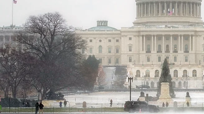
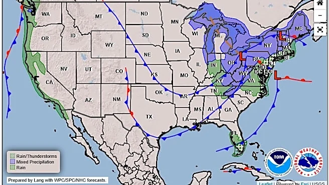
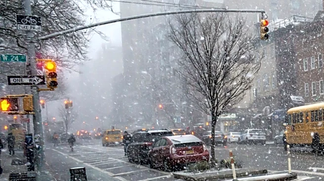
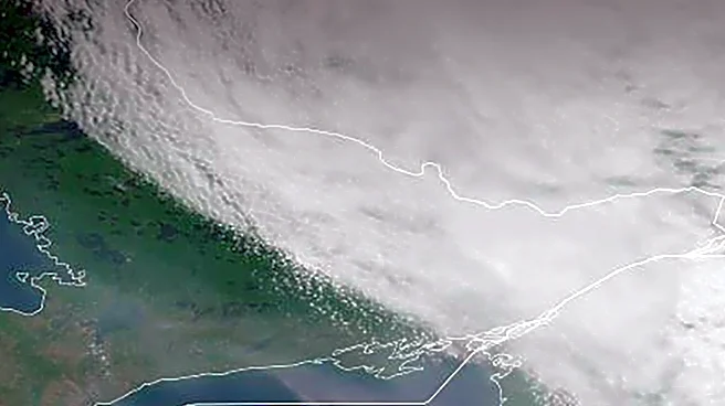
A potential nor'easter is forecast to impact the Northeast, including Philadelphia, New York City, and Washington, D.C., from Thursday into Friday. Current predictions indicate that these major metropolitan areas will primarily experience rain, gusty
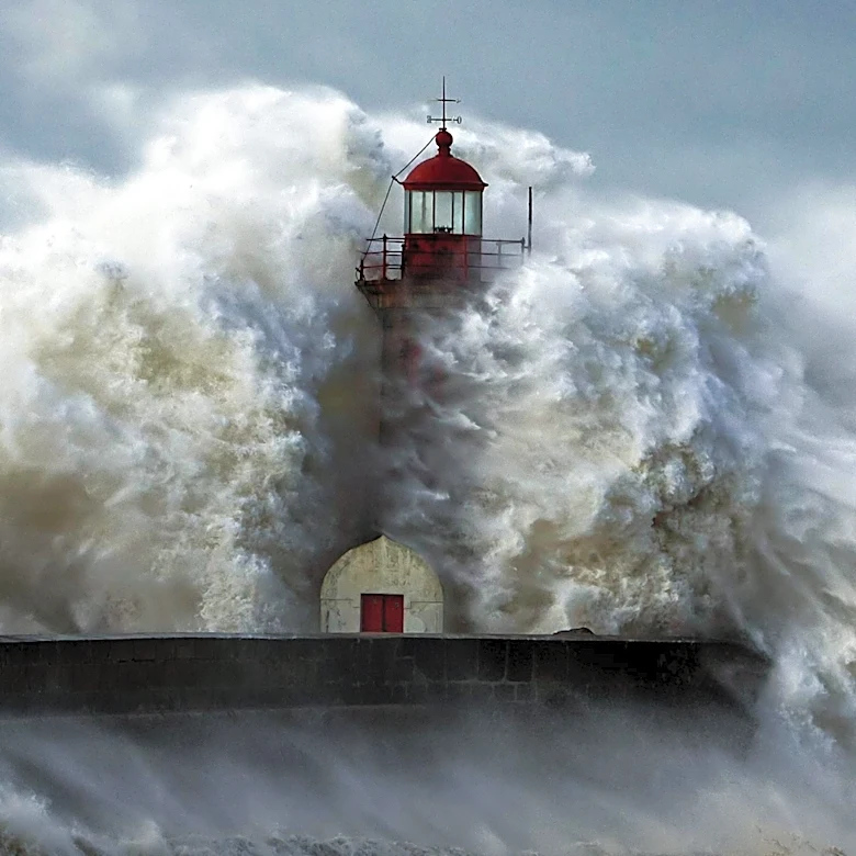
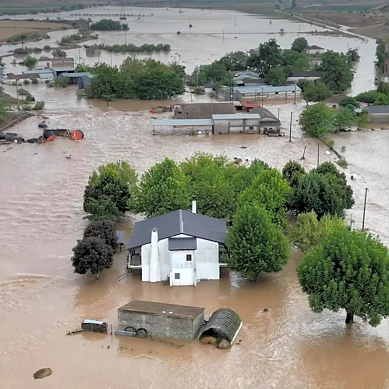
winds, and a significant drop in temperatures, rather than accumulating snow. The National Weather Service (NWS) is favoring rain for NYC, northeastern New Jersey, and southern Connecticut, with only a low confidence in wet snow mixing in at higher inland elevations. Similarly, Washington, D.C., is expected to see rain east of the mountains, though accumulating snow is possible in the Alleghenies. Philadelphia and South Jersey are under watch for heavy rain, gusty winds, and potential tidal flooding in Atlantic and Cape May counties. The storm has trended tamer since earlier forecasts, with models now suggesting a faster system, less precipitation, and a reduced threat of snow at lower elevations. Much colder air is anticipated to arrive on Friday, with highs in the 30s and 40s and lows in the 20s across parts of the Northeast.
Why It's Important?
This weather event is important because it will bring a significant shift in conditions across a densely populated region of the U.S., impacting millions of residents and daily operations. While the reduced snow threat might alleviate some concerns for travel and infrastructure, the combination of heavy rain, gusty winds, and colder temperatures still poses risks. Potential tidal flooding in coastal areas like Atlantic and Cape May counties could lead to property damage and disruptions. The sharp drop in temperatures will necessitate increased heating, potentially straining energy grids and increasing costs for consumers. Businesses, particularly those in retail and transportation, may experience altered customer traffic and logistical challenges. Commuters should prepare for wet and windy conditions, which can make driving hazardous and cause delays in public transportation. The forecast also highlights the dynamic nature of weather prediction, with continuous adjustments influencing public preparedness and resource allocation.
What's Next?
Residents in Philadelphia, New York City, and Washington, D.C., should prepare for a cold and wet end to the week. The NWS advises monitoring local forecasts for updates, as there is still some uncertainty regarding the storm's exact trajectory and intensity. While a second area of low pressure forming farther south and offshore could bring stronger wind gusts and a brief switch to snow along the coast, forecasters currently do not favor this scenario. Conversely, if the storm drifts too far out to sea, less rain and wind could occur. Potential rain totals and wind speeds are yet to be released, so staying informed through local weather channels is crucial. The colder temperatures arriving on Friday will persist, making it feel much more like winter. By Saturday, the storm is expected to move towards Canada, though cold winds might still bring lingering snow showers to parts of New England and the Appalachians.
Beyond the Headlines
The anticipation and subsequent moderation of this nor'easter underscore the broader societal implications of weather forecasting and climate change. The initial concern for significant snowfall, followed by a revised forecast of primarily rain, highlights the complexities of atmospheric modeling and the public's reliance on accurate predictions for planning. This event also serves as a reminder of the vulnerability of coastal communities to tidal flooding, a concern that is amplified by rising sea levels due to climate change. The shift to colder temperatures, even without heavy snow, can have economic impacts, particularly on energy consumption and the agricultural sector. Furthermore, the public discourse around such weather events often reflects a growing awareness of climate patterns and their potential to disrupt daily life, prompting discussions on infrastructure resilience and emergency preparedness in urban environments.