




What's Happening?
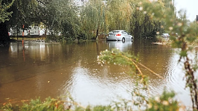
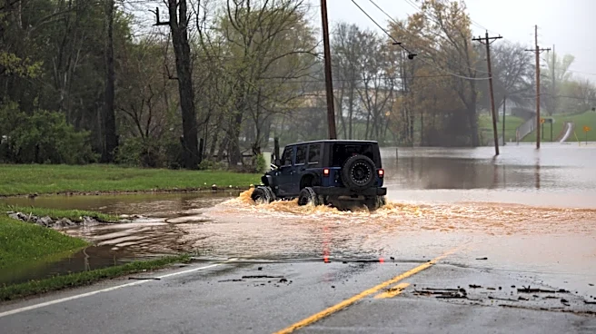
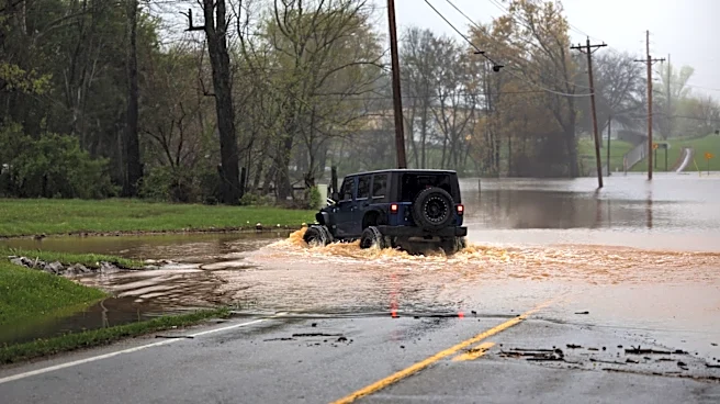
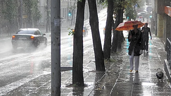
Vermont is experiencing a First Alert Weather Day due to the risk of flash flooding from heavy rainfall expected through midweek. Areas such as Rutland and Windsor County are forecasted to receive between 1.5 to 4 inches of rain, with localized totals
potentially exceeding 5 inches. The rain is anticipated to develop during the afternoon and evening, with additional rounds of showers and heavy downpours continuing through the night into Wednesday. While northern Vermont is expected to receive less rain, southern Vermont could see significant rainfall, raising concerns about flash flooding, especially in low-lying and poor drainage areas.
Why It's Important?
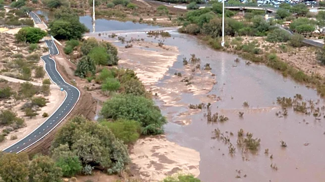
The heavy rainfall poses a risk of flash flooding, which can lead to dangerous conditions such as road washouts and overflowing creeks and streams. This weather event is significant as it could impact transportation, local infrastructure, and safety in affected areas. The rainfall, however, also brings much-needed moisture to parched lawns and gardens, particularly in northern Vermont. Residents in flood-prone areas are advised to stay alert and prepared for potential flooding, highlighting the importance of community readiness and effective communication from weather services.
What's Next?
The First Alert Weather Team will continue to monitor and refine the rain forecast over the coming days. Residents are encouraged to download weather apps for real-time alerts and to have a plan in place in case of rising water levels. The flash flood risk is expected to diminish by late Thursday morning as the rain subsides. Authorities will likely assess the impact of the rainfall on local infrastructure and provide updates on any necessary emergency measures.