





What's Happening?
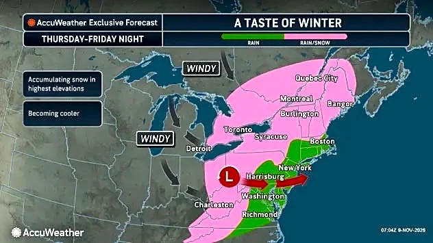
Tennessee is preparing for its first snowfall of the season this week, with flurries and snow showers expected, particularly in the Smoky Mountains. According to WSMV, much colder weather will move into the area, making Friday the coldest day since last
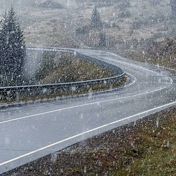
February. High temperatures are forecast to be in the 40s, but wind chill will make it feel even colder. While the Cumberland Plateau might see a few sprinkles mixing with windswept snow flurries at higher elevations, East Tennessee, especially the Smoky Mountains above 3,000 feet, has a better chance of experiencing light snow. Roads are expected to remain wet, with significant accumulation unlikely in most areas.
Why It's Important?
The arrival of the first snowfall and significantly colder temperatures marks a seasonal shift that impacts daily life and infrastructure across Tennessee. For residents, this means adjusting to winter driving conditions, preparing homes for colder weather, and potentially facing increased energy costs. Businesses, particularly those in tourism and outdoor recreation, may see both opportunities and challenges. The agricultural sector could also be affected, depending on the timing and severity of the cold snap. While the initial snowfall is not expected to be disruptive, it serves as a reminder for communities and emergency services to prepare for more severe winter weather later in the season, ensuring public safety and operational readiness.
What's Next?
Following the initial cold front and snowfall, widespread freezing weather is anticipated during the mornings over the upcoming weekend. However, temperatures are expected to rebound to around 60 degrees early next week under sunny skies, indicating a brief but sharp cold snap. Residents are advised to monitor local weather forecasts for updates and to take necessary precautions for the fluctuating temperatures. Local authorities and utility companies will likely be on standby to address any weather-related issues, such as power outages or hazardous road conditions, although major disruptions are not currently predicted. The average first snowfall for Middle Tennessee typically occurs in December, suggesting this week's event is an early start to the winter weather.
Beyond the Headlines
The early arrival of snow in Tennessee, while not unprecedented, contributes to broader discussions about changing weather patterns and climate variability. While a single event does not confirm long-term trends, it highlights the dynamic nature of regional climates and the need for communities to be adaptable. For meteorologists, these early season events provide valuable data for forecasting and understanding local weather phenomena. For the public, it underscores the importance of preparedness and resilience in the face of unpredictable environmental shifts. The contrast between the brief cold snap and the subsequent warming trend also illustrates the complex interplay of atmospheric conditions that define transitional seasons.