





What's Happening?
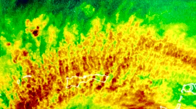
Scientists from the University of Miami, in collaboration with the U.S. National Oceanic and Atmospheric Administration (NOAA), have identified four critical characteristics that indicate a tilted tropical cyclone's ability to vertically align and intensify.
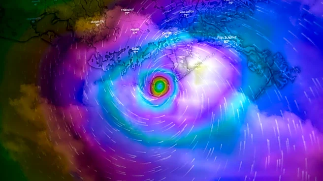
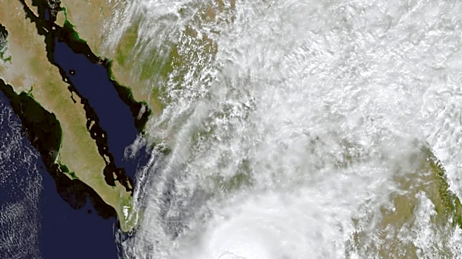
For a cyclone to significantly strengthen, its circulation centers at different atmospheric levels must align. Strong upper-atmosphere winds can displace the upper circulation relative to the surface center, preventing intensification until alignment occurs. The identified factors include a compact, well-organized circulation near the ocean surface, a favorable orientation of the storm's tilt relative to vertical wind shear, stronger upward air currents, and more intense precipitation near the lower circulation center. Additionally, a combination of warm ocean water, substantial atmospheric moisture, and weak mid-level winds contributes to this process. Thunderstorms near the cyclone's lower center are not only a sign of organization but also aid in vertical alignment, according to the study published in the Journal of Geophysical Research: Atmospheres.
Why It's Important?
This research is crucial for improving tropical cyclone forecasting, which has significant implications for U.S. coastal communities and disaster preparedness. Better prediction of cyclone intensification can lead to more accurate warnings, allowing for timely evacuations and resource allocation, potentially saving lives and reducing economic damage. The ability to identify cyclones likely to align and strengthen earlier could enhance the effectiveness of emergency response efforts and infrastructure protection. For industries such as insurance, agriculture, and shipping, improved forecasts mean better risk assessment and operational planning. The study's findings, derived from NOAA Hurricane Hunter aircraft data, also provide a framework for evaluating how well current forecasting models reproduce the vertical alignment process, paving the way for more sophisticated and reliable predictive tools.
What's Next?
The findings from this study are expected to be integrated into existing tropical cyclone forecasting models and operational procedures. NOAA already collects data on wind strength at lower levels, storm size, thunderstorm area, and cyclone tilt direction, which aligns with the newly identified characteristics. Scientists will likely use these data to assess and refine forecasting models, aiming to improve their accuracy in predicting vertical alignment and intensification. Future research may focus on further understanding the interplay between these factors and developing more advanced observational techniques. The goal is to enable earlier identification of disorganized cyclones that are becoming more favorable for intensification, providing forecasters with a longer lead time for warnings and preparedness measures for U.S. regions vulnerable to tropical storms.
Beyond the Headlines
Beyond immediate forecasting improvements, this research contributes to a deeper scientific understanding of complex atmospheric phenomena. The ability to predict cyclone behavior with greater precision could influence long-term urban planning and infrastructure development in coastal areas, encouraging the construction of more resilient communities. Ethically, enhanced forecasting capabilities place a greater responsibility on authorities to act decisively on warnings, balancing the need for public safety with potential economic disruptions from evacuations. Culturally, a better understanding of these powerful natural events can foster greater public awareness and respect for the forces of nature, potentially leading to more proactive community engagement in disaster preparedness and climate resilience efforts across the U.S. The study also highlights the ongoing importance of federal scientific agencies like NOAA in safeguarding national interests.