


What's Happening?
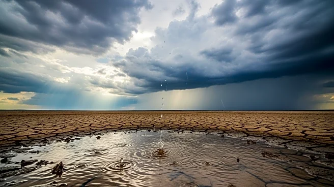
A series of storms is set to bring heavy rain and mountain snow to parts of California and Oregon, marking a significant shift in the weather pattern. The first storm will arrive late Saturday, focusing on Northern California and parts of Oregon, with
a potent low-pressure system expected to bring widespread precipitation and gusty winds by Monday. This change comes after a dry spell in the region, with concerns about potential flooding, especially in areas with burn scars from previous fires.
Why It's Important?
The incoming storms are crucial for the parched West, providing much-needed moisture to areas experiencing drought conditions. While California's reservoirs are currently above average, the additional precipitation will help maintain water levels and support agricultural needs. However, the risk of flooding, particularly in areas with burn scars, poses a challenge for local communities. The storms also highlight the ongoing impacts of climate variability and the need for effective water management strategies.
What's Next?
As the storms progress, monitoring of flood-prone areas will be essential to mitigate potential impacts. Emergency services and local authorities will need to be prepared for possible evacuations and infrastructure challenges. The weather pattern is expected to remain active, with additional storms likely to follow, providing further opportunities for replenishing water resources in the region.